

























































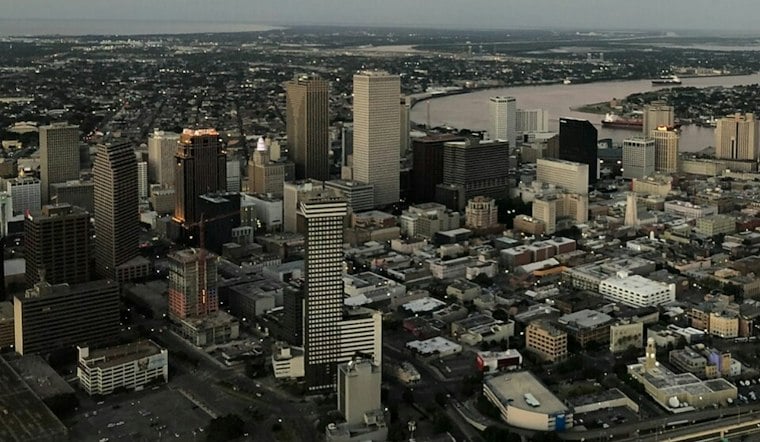
New Orleans is getting a brief weather reset Thursday: clear skies, drier air and a high near 89 degrees after a stormier stretch. East winds around 10 to 15 mph will keep things moving, but outdoor plans will still feel warm rather than crisp.
Sunny Skies Hold Through The Weekend
According to the National Weather Service, Thursday night should stay mostly clear with a low near 76, followed by a drier Friday with above-average temperatures. Saturday and Sunday look hotter, with highs near 92 and only a small chance of rain.
Drier Air Helps, But The Heat Sticks Around
The weak front moving through the area is expected to lower humidity compared with recent days, making the upper-80s afternoons a little more manageable. By early next week, however, forecast heat-index values could climb into the 100-to-105-degree range, so people spending time outdoors should plan for water, shade and breaks during the afternoon.
Storm Chances Return Monday
Rain chances increase Monday afternoon, when showers and thunderstorms could pop up after 1 p.m., with a 30% to 40% chance of storms in the latest forecast. Tuesday and Wednesday also carry rain chances, but the overall pattern still favors plenty of sunshine between any brief downpours.
That is a meaningful change from Wednesday's wetter setup, when storms and gusty winds were more likely, as Hoodline previously reported. For now, Thursday through Sunday offer the cleaner window for errands, outdoor dining and weekend plans—just bring the sunscreen.





