

























































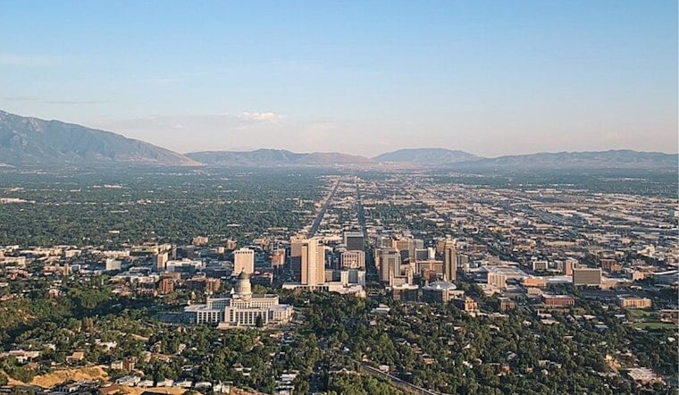
Salt Lake City’s Labor Day starts with a small chance of showers or thunderstorms, then clears into a mostly sunny afternoon with a high near 77 degrees. The cooler holiday weather marks a sharp reset after the weekend’s storm setup, but the heat will begin rebuilding almost immediately.
Morning Showers Fade Before A Sunny Afternoon
The National Weather Service expects the slight rain and thunderstorm risk to wind down before 9 a.m. Monday, with only a 20% chance of precipitation. After that, skies should turn sunny as west-northwest winds settle into a lighter 3 to 8 mph range.
Temperatures will ease through the afternoon after reaching the upper 70s, and Monday night should be mostly clear with a low around 56. There are no watches or warnings posted for Utah or southwest Wyoming in the latest outlook.
Temperatures Climb Through The Workweek
Salt Lake City gets only a brief taste of fall before summer temperatures return. Tuesday should be sunny with a high near 83, followed by 86 degrees Wednesday and about 88 degrees Thursday and Friday, according to the National Weather Service.
The midweek forecast is notably dry, with mostly sunny skies and no meaningful rain chance through Friday. Overnight lows will stay comfortable, ranging from the upper 50s to mid-60s, making early mornings much easier than the afternoons.
Weekend Weather Turns Slightly Less Certain
Saturday should remain mostly sunny with a high near 86, though a slight chance of showers and thunderstorms returns after noon. A few rain showers could linger after midnight, while Sunday looks mostly sunny and cooler again with a high near 77.
Monday’s update adds more detail to the storm-and-cooldown forecast covered by Hoodline. For holiday plans, the simplest forecast is a chilly start, a sunny afternoon, and a reminder that summer is not quite finished with Salt Lake City yet.





_from_Ensign_Peak.jpg)