

























































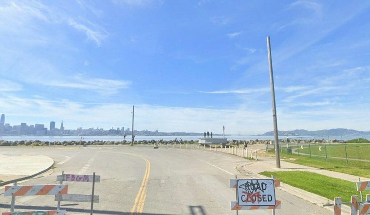
Low-lying shorelines around San Francisco Bay could see saltwater overtop seawalls and roads during a coastal flood advisory from 11 a.m. Monday through 5 p.m. Thursday. The National Weather Service advisory warns of up to 1.2 feet of inundation in low-lying parts of San Francisco, San Pablo and Monterey Bays. Stormy weather is not forecast.
The San Francisco Chronicle reported this is the Bay Area’s second coastal flood advisory this month, with water levels a few inches higher than during the earlier advisory. It reported that waves could overtop parts of San Francisco’s Embarcadero and other low-lying shoreline areas. Marin County is also exposed, though forecasters do not expect this week’s winds to drive seawater far inland. The advisory describes a risk; it does not establish that flooding has occurred at any particular location.
A local vulnerability, and a past closure
The Manzanita Park and Ride in Mill Valley illustrates how high tides can affect local infrastructure. Patch reported that Caltrans closes the lot’s lower portion when tides exceed 6.2 feet MLLW, because sections sit below sea level. In a separate, dated example, Caltrans announced that the lower half would close from July 26 to August 4, 2019, because of expected nightly high-tide flooding. That past closure is context, not an indication that the lot will close during this advisory.
Ocean conditions add uncertainty
The Chronicle attributed elevated coastal water levels in part to a coastally trapped Kelvin wave, an ocean disturbance that can affect sea levels along the North American coast. It reported that marine scientist Dillon Amaya expects another wave to reach the Bay Area after Southern California, potentially lifting Bay Area sea levels as much as a foot or more above normal by mid-October. That is a reported projection, not a measurement of this week’s water levels.
The paper also reported that an earlier wave contributed to San Francisco’s highest June and July tides on record, and that local sea levels this season could rival the January 1983 record, set during another El Niño. Neither comparison means the current advisory will produce record water levels. NOAA’s 2018 technical report includes year-to-year changes associated with ENSO in its analysis of high-tide flooding, alongside historical trends and projections; it does not identify ENSO as the cause of this specific advisory.
The Guardian reported that California Coastal Commission Executive Director Kate Huckelbridge warned in a memo that the most damaging ocean events during El Niño can occur when storm surge coincides with naturally high tides. That is a concern for the season ahead, not a forecast of storm surge during this week’s advisory. The California Coastal Commission says global mean sea level has risen 7 to 8 inches over the past century and is expected to rise faster; that long-term global trend is distinct from short-term variations in tides and ocean conditions.
Shoreline planning works on a longer timeline
A 2023 Federal Register notice said the U.S. Army Corps of Engineers and the Port of San Francisco partnered to study flood risk along 7.5 miles of bayside shoreline, including areas between Aquatic Park and Heron’s Head Park. The notice describes a study, not protection already in place for this week.
A 2018 Port of San Francisco memo set out phases for its Seawall Program: near-term actions scheduled for 2017–2026, mid-range plans for 2026–2050 and a long-term vision for 2050–2100. Those horizons address waterfront resilience over decades; the immediate question for this advisory remains where high water reaches the shoreline during the forecast period.





