

























































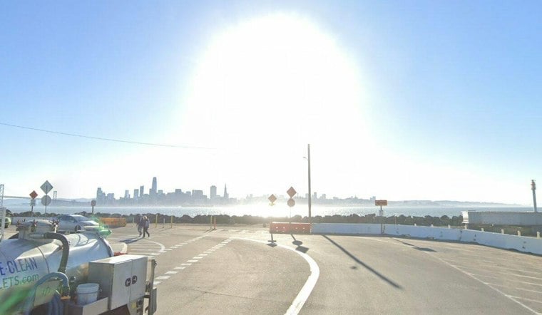
San Francisco is starting Wednesday in the upper 50s, but the city is headed for a sunny afternoon near 75 degrees. Rain is not expected, although a coastal flood advisory and elevated fire weather conditions in higher terrain are keeping the forecast from being entirely carefree.
Sunny Afternoon, Breezier Near The Bay
Temperatures should climb steadily through the morning before peaking around 75 degrees early Wednesday afternoon. Southwest winds of 3 to 13 mph will turn more westerly later in the day, reaching roughly 12 to 13 mph near the afternoon commute.
Thursday will bring another mostly sunny day near 75, followed by partly sunny skies and highs around 77 on Friday and Saturday. The latest outlook from the National Weather Service keeps rain chances near zero across the city through the weekend.
Coastal Flooding Remains The Main Local Hazard
A Coastal Flood Advisory remains in effect through 5 p.m. Thursday for low-lying areas near San Francisco Bay, San Pablo Bay and Monterey Bay. The National Weather Service says up to 1.2 feet of water could reach above ground level in some shoreline locations, including roads, parks, lots and coastal trails.
High tide at the San Francisco gauge is expected around 2:10 p.m. Wednesday and 2:58 p.m. Thursday. Isolated road closures are possible, and drivers should not go around barricades or enter water of unknown depth.
Dry Higher Terrain Brings Fire Weather Concern
Dry and windy conditions are expected to keep fire weather elevated across higher terrain through Thursday. Overnight humidity could fall as low as 20% to 30% above the marine layer, increasing the risk that a small fire could spread quickly in those areas.
The city itself should remain warmer than the immediate coast at times, while inland locations face moderate heat risk through Tuesday. Residents heading into open or brushy areas should avoid careless sparks and keep outdoor flames fully controlled.
Warm Pattern Holds Into Next Week
San Francisco should stay in a mild-to-warm stretch through Tuesday, with highs near 75 degrees Sunday and Monday and about 76 degrees Tuesday. Overnight lows will generally range from the mid-50s to around 60, so a light layer should still be useful after sunset even as afternoons feel unusually warm.





