

























































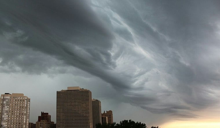
Chicago woke Wednesday to light rain, low clouds and a cool, damp start, with temperatures in the lower 70s across the metro. Showers are likely through the day, and the forecast turns more unsettled again tonight as another round of storms could bring locally heavy rain.
Wednesday Stays Cool And Damp
The chance of rain reaches 40% Wednesday, with showers possible mainly after 2pm. Partly cloudy skies and west winds around 5 mph, with gusts up to 25 mph, are expected as humidity falls.
Storm Risk Rises Wednesday Night
A chance of showers and thunderstorms arrives Wednesday night, with the possibility of heavier rain late in the evening and into early Thursday. According to the National Weather Service Chicago, the heaviest storm corridor could set up south of I-80, though the exact location remains uncertain and repeated downpours could cause localized flash flooding. The forecast leaves the status of watches, warnings and advisories unspecified.
Thursday Offers A Brief Afternoon Break
Thursday could begin with more showers and thunderstorms before conditions gradually improve, with a high near 74. The forecast is drier from Thursday afternoon through at least the first half of Friday, when partly sunny skies and a high near 74 should offer a better window for outdoor plans.
Wet Weather Returns For The Weekend
Storm chances return late Friday, with heavy rainfall possible at times through Saturday across parts of the upper Midwest. Weekend storm chances continue. The wetter outlook is a significant update from Hoodline's Sunday forecast, which pointed to lighter showers before the current storm pattern became clearer.





