

























































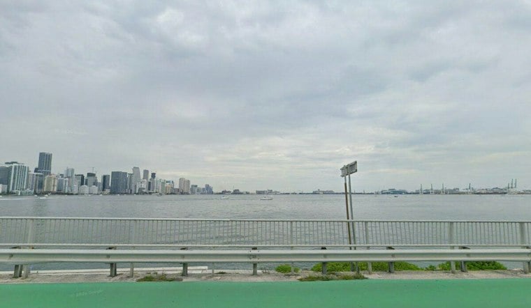
Miami woke up under mostly cloudy skies Tuesday with temperatures near 79 degrees, but the relatively quiet start is not expected to last. Showers and thunderstorms are likely to build through the day, with the greatest chance of wet weather arriving during the afternoon.
The high should reach about 86 degrees before temperatures dip during the afternoon. The National Weather Service in Miami puts the overall rain chance near 70%, with showers and thunderstorms possible after 8 a.m. and more likely between 2 p.m. and 4 p.m., when brief heavy rain could complicate commutes and outdoor plans.
Coastal Flooding Continues Through Wednesday
A Coastal Flood Advisory remains in effect for coastal Miami-Dade County until 2 p.m. Tuesday, followed by a Coastal Flood Statement through Wednesday afternoon, according to NWS Miami. Flooding could affect low-lying roads, parks and lots during high-tide cycles, with isolated road closures possible.
Drivers should allow extra time, avoid barricades and never drive through water of unknown depth. The advisory covers coastal areas of Miami-Dade, Broward and Palm Beach counties, so the problem is not limited to one stretch of shoreline.
Wet Pattern Sticks Around
Tuesday night stays mostly cloudy with a 50% chance of showers and thunderstorms and a low in the low to mid 70s. Wednesday brings another warm day near 86 degrees, with a 60% chance of storms and the possibility of heavier afternoon activity.
The forecast turns wetter and windier late in the week. Thursday carries an 80% chance of showers and thunderstorms as easterly flow returns, with brisk conditions expected late in the week, while Friday through Sunday remain breezy with highs near 88 and recurring storm chances.
The unsettled stretch follows Monday's Hoodline forecast, which flagged the return of storms after a brief calmer spell. For Miami residents, the practical takeaway is simple: keep the umbrella nearby, watch the tide and leave extra time for afternoon travel.





