

























































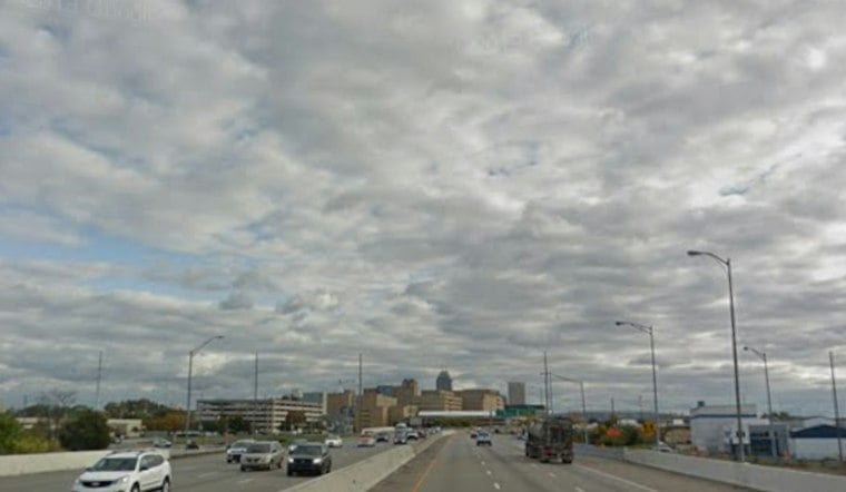
Indianapolis is starting Saturday with light rain, fog and muggy temperatures near 72 degrees, but the unsettled weather is just getting organized. Showers and thunderstorms will remain possible through the morning before the city gets another warm, stormy afternoon.
Saturday Brings Rain And Thunderstorms
The National Weather Service forecast puts the chance of rain at 90% Saturday, with showers and thunderstorms continuing from the morning into the afternoon. Indianapolis should reach about 84 degrees, with southwest winds around 6 mph and rainfall totals generally between one-half and three-quarters of an inch.
The heaviest downpours could create slick roads and briefly poor visibility, especially during the morning commute. Storm coverage should become more scattered later in the day, but isolated thunderstorms may still pop up through the afternoon.
Quieter Saturday Night Before Sunday Storms
Rain chances drop sharply Saturday evening as skies turn partly cloudy. Temperatures will fall to around 67 degrees overnight, making for a calmer night after the soggy start.
Sunday begins partly sunny, but a slight chance of showers and thunderstorms develops after 2 p.m. and increases later in the day. The high should reach about 85 degrees before a front brings cooler air, with Sunday night's low dropping to around 59.
Monday Cooldown Won't Last Long
Monday offers the best break in the forecast, with mostly sunny skies and a high near 77 degrees. The cooler air will be short-lived, however, as sunny conditions and highs near 91 return Tuesday and Wednesday.
Wednesday could bring a slight afternoon thunderstorm chance, but the bigger story is the heat's return. No watches, warnings or advisories are listed for Indianapolis in the current forecast.





