

























































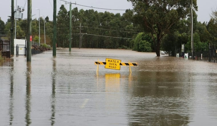
Several area terminals reported low stratus and fog Friday morning after overnight rain-cooled air, but rounds of showers and thunderstorms are expected after 11 a.m. The high should reach about 90 before rain-cooled air pulls temperatures back toward the upper 80s. The bigger concern is not a washout everywhere, but pockets of very heavy rain that could quickly turn streets into a mess.
Heavy Rain Could Hit Poor-Drainage Areas
The National Weather Service in New Orleans says deep tropical moisture will keep the setup primed for downpours Friday and Saturday. Storms may dump rain at rates of 2 to 3 inches per hour, and isolated spots could pick up 3 to 5 inches in a short stretch if storms stall or repeatedly move over the same area, according to the National Weather Service.
That puts urban, low-lying and poor-drainage areas at greatest risk of street flooding, even though the overall flash-flood threat remains marginal, or Level 1 of 5. There are no watches, warnings or advisories listed for the New Orleans area Friday morning, but localized street flooding remains a concern.
Heavy Rain Potential Continues Saturday
Friday night, convection is expected to wane after 00Z. Saturday brings a 50% chance of showers and thunderstorms, with heavier bursts capable of producing more localized flooding.
Hoodline’s Thursday forecast already flagged the city’s stormy turn, but this update sharpens the concern through Saturday as repeated downpours remain possible. Sunday stays in the lower 90s with more scattered afternoon convection.
Heat Builds Again Next Week
Storm coverage should become more scattered Monday and Tuesday, though highs climb into the low to mid-90s. The weather service says humidity could push heat-index values into the 105-to-110 range, especially Tuesday, so outdoor plans may need extra water, shade and flexibility.
By Wednesday, afternoon showers and thunderstorms remain possible, while Thursday could still see isolated to scattered afternoon convection. The rain may ease from Friday’s flood-prone setup, but the classic New Orleans combination of heat, humidity and pop-up storms is not going anywhere yet.





