

























































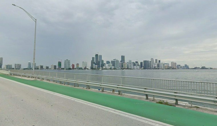
Miami is starting Tuesday with partly cloudy skies, muggy air and a stiff breeze, with temperatures around 73 degrees early and a high near 84. A few showers could wander through the city, but the bigger concern for beachgoers is rough surf and dangerous rip currents along the coast.
Showers have a 20% chance Tuesday, mainly as brief, scattered bursts, while northeast winds around 22 mph could gust to 28 mph. The National Weather Service Miami forecast gives Tuesday a 20% precipitation probability.
Windy Conditions Stick Around
Tuesday night will be partly cloudy, with a low around 71. Wednesday looks similar, with mostly sunny skies and a high near 84.
Beach Hazards Continue Through Thursday
A high risk of rip currents is in effect for coastal Miami-Dade through Thursday evening. Swimmers should stay near a lifeguard; anyone caught in a rip current should float, avoid fighting the current and move parallel to shore if able.
Rough surf is also expected along nearby Broward and Palm Beach beaches, while minor to moderate coastal flooding could develop around high tides from midweek into the weekend. Even if the sky looks inviting, the coastline will be a poor place to improvise a swim plan.
Rain Chances Rise Into The Weekend
Thursday brings a 30% chance of showers and thunderstorms, and rain chances rise Friday. Saturday could be the wettest day, with showers and thunderstorms at an 80% chance, followed by a 90% chance Sunday.
Northeast winds are expected to strengthen again over the weekend, with gusts potentially reaching 30 to 40 mph, especially near the coast. Highs should stay in the low 80s through Monday, but outdoor plans may need a backup venue as rain, surf and wind team up.





