

























































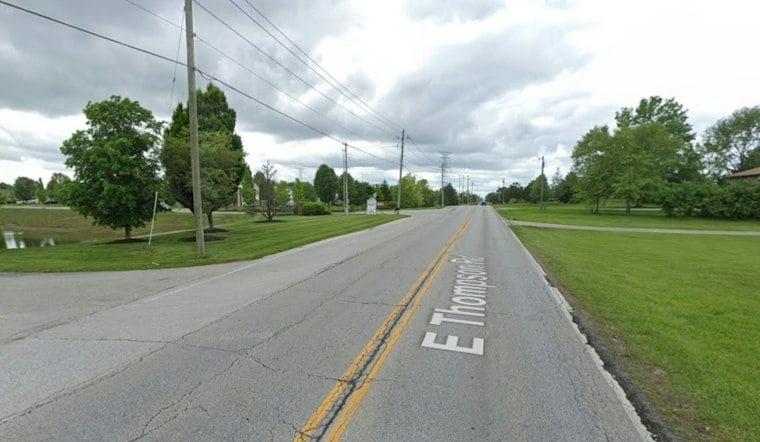
A crash near Thompson Park on Indianapolis' southeast side turned deadly Thursday evening, prompting the city's police department to send its fatal crash investigation team to the scene. The wreck happened in the 6500 block of East Thompson Road, a stretch of road that runs alongside the namesake park.
According to WTHR, the Indianapolis Metropolitan Police Department is investigating the fatal crash, which occurred Thursday evening near Thompson Park. Officers were initially called to the location on a report of a personal-injury crash, the station reports, before the situation was confirmed fatal and the department's specialized crash team was summoned.
Fatal Crash Team Dispatched to the Scene
Once it became clear the crash had claimed a life, IMPD's fatal crash investigation team was called in to examine the scene, per the station's report. That unit typically handles the department's most serious traffic cases, piecing together how and why a crash turned deadly.
Beyond confirming the crash's location and fatal outcome, police have not released additional information, the same account notes. The circumstances surrounding the crash, including what led up to it, remain under investigation.
Crash Data Tracked Citywide
Fatal and serious-injury crashes in Marion County are tracked through a broader system that officials use to study traffic safety trends across Indianapolis. The city's Vision Zero Dashboard compiles crash data that can be filtered by injury severity, travel mode, location, and other factors, according to gis.indy.gov. That fatality and serious-injury data is compiled through a statewide reporting system known as ARIES, which relies primarily on IMPD crash reports, the same dashboard notes.
At the state level, the Indiana Criminal Justice Institute uses federal highway safety funding to partner with the Indiana University Public Policy Institute on an annual analysis of that ARIES crash data, with results published in a series of Crash Facts reports, according to in.gov. Separately, the Indianapolis Metropolitan Planning Organization maintains a High Injury Network map identifying roadway segments used for citywide transportation safety planning, as outlined by the Indianapolis MPO Data Portal.
No arrests, citations, or details about the vehicles involved have been disclosed. This is a developing story, and Hoodline will update it as IMPD releases more information.





