

























































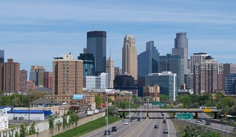
Minneapolis woke Monday, October 26, to light rain and temperatures in the mid-40s, with a gray and soggy day ahead. Rain is expected to become steadier through the afternoon as the city struggles to reach a high near 49 degrees.
Rain Takes Over Monday
The forecast calls for an 80% chance of rain Monday, with roughly a tenth to a quarter-inch possible during the day, according to the National Weather Service Twin Cities. The rain continues Monday night, when another quarter-inch to half-inch could fall and east winds increase to 10 to 15 mph.
That makes Monday a wetter update than Sunday's outlook suggested. The heaviest rainfall is expected west and central Minnesota, while totals across the Twin Cities may vary, but no watches, warnings or advisories are currently listed for Minneapolis.
Tuesday Brings A Temperature Whiplash
A few showers could linger before 11 a.m. Tuesday, but temperatures rebound quickly under mostly cloudy skies, with a high near 64 degrees. Southeast winds will run 10 to 15 knots and could gust to 20 knots, making for a blustery afternoon.
Wednesday is expected to be the warmest day of the workweek, reaching about 69 degrees with a chance of showers. The more active weather arrives Wednesday evening, when showers and thunderstorms are possible before the system moves out overnight.
Thursday Offers A Brief Weather Reset
Thursday looks like the week's cleanest break, with sunny skies and a high near 63 degrees. Friday stays mild near 62, although a few showers could return after 1 p.m.
Halloween weekend remains unsettled: Saturday brings a 60% chance of rain showers and a high near 63, while Sunday stays mostly cloudy with another chance of showers and a high near 62. Minneapolis outdoor plans may survive the forecast, but umbrellas and flexible timing could be the real costumes this week.
Hoodline's earlier Sunday forecast also mentioned a 40% to 60% precipitation chance for Halloween; that report is available from Hoodline.




