

























































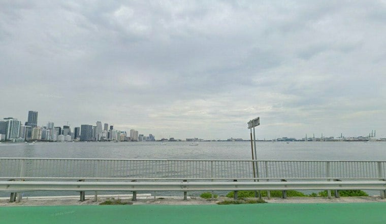
Miami is starting Saturday clear and warm, with temperatures around 82 degrees early and a hot, breezy afternoon ahead. The high should reach about 89 degrees, while the heat index could climb as high as 101.
East winds around 16 mph may gust to 20 mph through the day, keeping conditions choppy near the coast. Rain chances remain low Saturday, but a brief shower or thunderstorm is possible, especially Saturday evening.
Sunday Stays Hot As Beach Hazard Continues
Sunday will be mostly sunny with a high near 88 and a low around 81 overnight. Southeast winds will ease to 10 to 14 mph, but the National Weather Service says dangerous rip currents remain a concern along the Atlantic beaches through Sunday evening.
Swimmers should stay near a lifeguard and avoid fighting the current if pulled away from shore. The latest National Weather Service forecast advises relaxing, floating and moving parallel to the shoreline when possible.
Storm Chances Build During The Workweek
Monday starts mostly sunny, but showers and thunderstorms could develop after 2 p.m., with a 15% chance of rain. Tuesday brings a similar high near 88, with afternoon precipitation chances of 80% to 90%; Wednesday and Thursday also have afternoon precipitation chances of 80% to 90% each day.
Those later-week storms could bring heavy downpours, lightning and localized flooding, even as daytime temperatures remain in the upper 80s. The forecast is a notable update from Friday's Hoodline forecast, extending beach concerns through Sunday and pointing to a broader storm pattern by midweek.





