

























































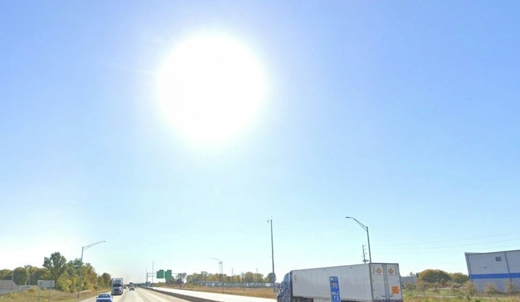
Indianapolis is enjoying clear skies Tuesday, with a mild afternoon and a high near 71 degrees. The dry stretch will continue through Saturday, bringing several mild afternoons before rain chances return early Sunday. The National Weather Service’s Indianapolis forecast puts Tuesday’s high near 71 degrees and calls for dry weather through Saturday.
Sunny Skies And A Warm Wednesday
Tuesday night will stay clear, with temperatures dipping to around 50 degrees. Wednesday will be the warmest day of the workweek, reaching about 81 degrees under sunny skies, with winds becoming more southerly.
Thursday and Friday will remain sunny with highs near 75 degrees. Saturday will warm back up to around 81, giving Indianapolis several good days for outdoor plans before the forecast turns less settled.
Low Humidity Brings Fire Weather Concern
Afternoon humidity levels could fall into the 30s or lower on several days this week. That is not prompting any watches or warnings, but the dry air may allow fires to spread more easily, so outdoor burning and other ignition sources will require extra care.
Fire-weather forecasts are part of the National Weather Service’s seasonal operations in central Indiana: from Oct. 1 through Dec. 15, the Indianapolis office issues narrative forecasts at 4 a.m. and 4 p.m. Eastern, while fire-weather watches and red-flag warnings are issued when needed. The office says afternoon relative humidity could fall to 25%–35% on many days this week, though light winds may temper the fire-weather threat. The local fire-weather program outlines that schedule and its alert products.
Rain Chances Return Sunday
Rain chances return early Sunday, rather than late Saturday night. Sunday is expected to be partly cloudy with a chance of showers and highs in the upper 70s. Monday will be partly cloudy with a chance of showers and highs around 80°F, rather than mostly sunny and dry. The outlook remains uncertain. The latest National Weather Service discussion says rain chances begin early Sunday and notes substantial uncertainty; the local forecast calls for a chance of showers Sunday and Monday.
As of the National Weather Service Indianapolis office’s 2:48 p.m. EDT update Tuesday, the local hazards page listed no watches, warnings or advisories. That status is time-sensitive, so residents planning outdoor activities later in the week should check for updates, particularly as Sunday’s rain outlook remains unsettled. The office’s current hazards page displays local alert status.
The Sunday outlook carries significant uncertainty beyond the basic chance of showers. The National Weather Service says forecasters are monitoring a possible tropical system in the southwestern Gulf and a separate upper-level low near Texas; whether those features develop and track north could determine whether rain reaches Indiana or the region stays dry and warm. That uncertainty may shift the timing and likelihood of showers as the weekend approaches. The Indianapolis forecast discussion lays out both possibilities.





