

























































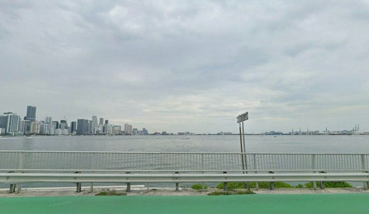
Miami was cloudy and around 74 degrees early Thursday, with a stormy day ahead and east winds adding to the unsettled feel. Showers are likely, with temperatures climbing near 80 degrees and a 60% chance of rain. A flood watch remains in effect through 7 p.m., putting low-lying and poorly drained areas on alert.
Flood Risk Remains The Main Concern
The National Weather Service says bands of showers and storms could produce 1 to 2 inches of rain in many affected locations, with isolated totals closer to 3 to 5 inches. South Florida has already received widespread 3 to 5 inches over the past several days, with pockets reporting 8 to 15 inches, meaning even another round of moderate rain could worsen existing flooding.
Miami-Dade remains included in the flood watch, though the highest risk for additional heavy rain is expected across Broward and Palm Beach counties. Drivers should expect ponding on roads, reduced visibility during heavier downpours and possible trouble in familiar flood-prone spots.
Thursday Night And Friday Stay Unsettled
Thursday night brings a chance of showers and a low near 71 degrees. Friday brings a chance of showers, with a high near 82 degrees.
Sunday And Monday Forecast
Sunday’s high is forecast near 82 degrees, followed by a high near 81 Monday.
Dangerous Rip Currents Continue Along The Coast
Beach conditions remain hazardous, with a rip current statement in effect for coastal Miami-Dade through Friday evening. The National Weather Service says dangerous surf and a high rip-current risk could persist into Saturday, so swimmers should stay near lifeguards and avoid entering the water when conditions are rough.





