

























































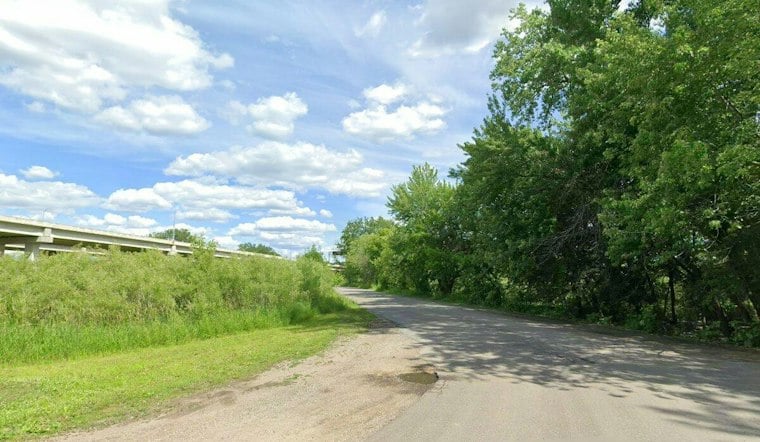
A nearly 15-year effort to stitch together a continuous riverside trail across Dakota County has reached its finish line. The Minnesota River Greenway now runs about 12½ miles from Interstate 35 in Burnsville to Lilydale Regional Park, with its final piece — a 3.6-mile section through parts of Fort Snelling State Park in Eagan — now open to the public.
A Years-Long Gap Finally Closes
The new segment connects trailheads at Cedar Avenue and Nicols Road with Lone Oaks Road, according to the Minnesota Star Tribune. Dakota County, which adopted a Minnesota River Greenway master plan in 2011, says the gap had long been difficult to reach from existing infrastructure, according to Dakota County Greenways Manager Tony Wotzka, as reported by the Star Tribune. Closing it means cyclists, runners and walkers can now travel an unbroken route along the river rather than detouring around the missing link.
Dakota County's own announcement confirms the scope of the finished piece, stating that “the completed greenway includes the final section — a 3.6-mile segment within Fort Snelling State Park in Eagan that connects the Cedar-Nichols and Lone Oak trailheads,” according to Dakota County. The project reportedly carried a price tag of $25 million, funded through a mix of federal, state and county money, the Star Tribune reports, though those figures come from the newspaper's reporting rather than county documentation reviewed here.
Boardwalks, Bridges and River-Bottom Views
The new stretch isn't just pavement. It includes boardwalks through wetlands and over small creeks, along with a bridge crossing a railroad and utility infrastructure, per the Star Tribune's account. Wotzka described the experience as immersive in nature, the paper reports, and the route provides access to wildlife, river-bottom scenery and parts of the Minnesota Valley National Wildlife Refuge.
That ecological framing lines up with how Dakota County describes other portions of the greenway. The county's trail page, last updated in September 2025, notes that the Burnsville stretch between Interstate 35W and Cedar Avenue offers “views of the Minnesota River and Black Dog Lake,” with parking available at the Minnesota Riverfront Park Trailhead, according to the county's trail information.
Plugging Into a Larger Regional Network
From its Burnsville-to-Lilydale backbone, the Minnesota River Greenway continues along the Big Rivers Regional Trail toward St. Paul, the Star Tribune reports. From there, the River to River Greenway connects to the Mississippi River Greenway at its South St. Paul trailhead, and that Mississippi route runs roughly 28 miles south to Hastings, according to the same reporting — meaning a rider starting in Burnsville now has a vastly expanded, linked trail system to explore.
Dakota County's own description of the Big Rivers Regional Trail backs up that broader connectivity, noting the trail links to the Mississippi National River and Recreation Area along with “hundreds of miles of trails and historic landmarks, including Fort Snelling, Pike Island and… the city of Mendota,” according to Dakota County's parks page. The county notes the trailhead offers a nearly flat paved path built on an abandoned railroad bed, with additional access points at Highway 55 in Mendota Heights and at Interstate 494 in Eagan and Interstate 35E in Mendota Heights.
Early Signs of Heavy Use
Usage on neighboring segments suggests the new link could see plenty of traffic. The stretch between I-35 and the Cedar/Nicols trailheads logged about 185,000 users in 2025, while the Big Rivers section heading into St. Paul saw roughly 268,000 users that same year, Wotzka told the Star Tribune. Wotzka visited the newly opened section on Friday morning and, during a 45-minute observation, saw cyclists, runners and walkers already making use of it, the paper reports.
He reported positive feedback from trail users and on social media, quoting people as saying they appreciated the new trail, according to the Star Tribune. For Wotzka, the payoff goes beyond recreation. He said the greenway improves regional connectivity between rivers and communities, linking neighborhoods that previously had no direct trail access to the Minnesota River corridor. The Star Tribune's outdoors reporter, Bob Timmons, first detailed the completed project and the county's long path to finishing it.




