

























































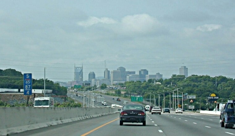
Nashville is waking up to light rain Wednesday, with temperatures in the mid-60s and a messy morning commute ahead. Showers and thunderstorms are expected through early afternoon, with 1 to 2 inches of rain possible before a cold front pushes the wet weather out. The city's high may reach 73 degrees, with temperatures expected in the lower 70s.
The heaviest rain threat runs from Wednesday morning into around 1 p.m., when repeated downpours could briefly overwhelm streets and drainage. The flash-flood risk is low, around 10% to 20%, with the greatest concern along and west of I-65; drivers should never enter a water-covered road. The National Weather Service has no watches, warnings or advisories posted for Nashville.
Afternoon Turns Drier, But Not Immediately Sunny
Rain chances drop sharply after lunchtime, with mostly cloudy skies through midafternoon and a few breaks of sun by late day. South-southwest winds of 5 to 15 mph may gust to 25 mph around the front, while lingering thunderstorms could bring additional rain. Heavy rain, slick roads and gusty winds could make Wednesday a difficult day for driving.
Thursday Starts Foggy Then Brightens
Wednesday night turns partly cloudy and cooler, with a low near 51 and patchy fog possible after 3 a.m. Patchy morning fog is possible, followed by mostly sunny skies and a high in the upper 60s. Areas of fog may return Thursday night and linger into Friday morning.
A Noticeably Cooler Weekend
A Noticeably Cooler Weekend Friday looks sunny, with a high near 68. Saturday is forecast to have a high in the mid-60s, while Sunday's high is around 60 degrees. Overnight lows fall to the low-to-mid 30s Saturday night and Sunday night.
As Hoodline's earlier forecast noted Tuesday, the warm stretch was expected to end with a midweek storm system. Rain is in the forecast, with localized flooding risk and reduced visibility among the concerns.
The cool-down is temporary but real: Monday should reach about 52, followed by a sunny Tuesday near 69. That makes Wednesday's rain the dividing line between a warm, unsettled stretch and a quieter run of crisp fall weather across Music City.





