

























































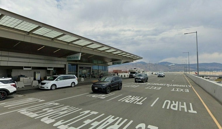
Salt Lake City woke Sunday to rain, with temperatures around 50 degrees and a thoroughly soggy forecast ahead. The National Weather Service is calling for a 100% chance of precipitation, with the high near 52 before temperatures slip through the afternoon.
Rain Turns Into Thunderstorms Sunday
Rain is expected to continue through early afternoon, followed by showers and thunderstorms from roughly 2 p.m. into the evening. Forecast rainfall totals could reach 1 to 2 inches, and a northwest wind of 7 to 10 mph is expected to arrive Sunday afternoon as the storm shifts east.
The latest update is a more serious turn from the earlier weekend outlook covered by Hoodline. A Flood Watch remains posted for southern and east-central Utah. The National Weather Service forecast reduced aviation visibility at the Salt Lake City terminal.
Mountain Snow Complicates Sunday Travel
Snow levels are expected to drop Sunday afternoon and night, bringing accumulating snow to Utah’s mountains. The forecast calls for 3 to 6 inches below 9,000 feet, more than a foot at higher elevations, and locally 18 to 24 inches in the upper Cottonwoods and western Uintas.
A Winter Weather Advisory remains in effect through late Monday morning for parts of the Utah mountains. Anyone heading toward ski areas, canyon roads or mountain passes should expect rapidly changing conditions and possible winter driving impacts.
Monday Stays Wet Before A Brief Rebound
Rain is likely again Monday before 2 p.m., with a high near 50 and mostly cloudy skies afterward. Monday night will turn colder, dropping to about 36 degrees, but Tuesday brings partly sunny skies and a warmer high near 56.
A weak storm system is forecast for Wednesday into Thursday, followed by ridging next weekend, according to the National Weather Service Salt Lake City forecast.




