

























































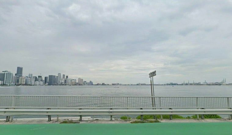
Showers are continuing across Miami Wednesday morning after persisting overnight and may increase in coverage. Showers and thunderstorms are expected to continue across the city through the afternoon, with a high near 79 and another round of wet weather likely Wednesday night.
Flood Watch Covers Miami-Dade Through Thursday
The National Weather Service Miami says an elevated flood threat will continue through Thursday evening, with 2 to 4 inches of rain possible across much of Southeast Florida and locally higher totals where storms repeat. Some spots could see 6 to 8 inches, with isolated totals above 10 inches, while the heaviest downpours may fall at 1 to 2 inches per hour, raising the risk for street flooding in poor-drainage and urban areas.
Showers are expected to continue through Wednesday afternoon, with thunderstorms possible after 1 p.m. East winds similar to Tuesday’s 21 to 24 mph may gust as high as 31 mph, making travel more difficult during heavier downpours and increasing the chance of standing water on local roads.
Beach Conditions Stay Dangerous
A High Rip Current Risk remains in effect for coastal Miami-Dade through Thursday evening. Even strong swimmers can be pulled away from shore, so beachgoers should stay near a lifeguard and avoid entering the water if conditions look rough.
Relief Arrives By The Weekend
Thursday stays stormy, with a 70% chance of showers and thunderstorms and a high near 81. Friday brings a 60% rain chance and a high near 83, while Saturday and Sunday trend mostly sunny with highs around 84 and 83, respectively, and nighttime lows near 70.
Hoodline’s earlier forecast flagged the initial flood threat Tuesday; the latest outlook keeps the watch in place and extends the wet pattern through Thursday evening. Residents should monitor updated warnings and never drive through water covering a roadway.





