

























































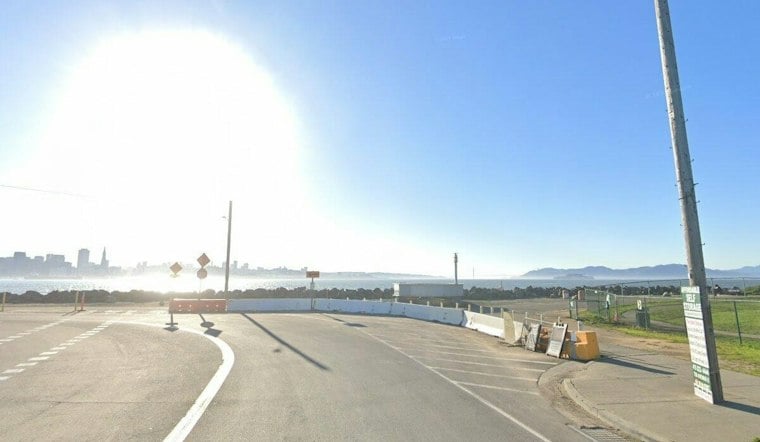
San Francisco is waking up Friday around 54 degrees under mostly clear skies, with mostly sunny weather expected and an afternoon high near 69. The comfortable forecast comes with a waterfront footnote: elevated tides and dangerous surf will keep low-lying shoreline areas and Pacific beaches on alert.
Winds should remain light early, then turn west-northwest at 2 to 7 mph during the afternoon, with virtually no chance of rain. Saturday through Monday look like the weekend sweet spot, with highs around 70 and overnight lows in the mid-50s; Tuesday stays sunny but cools slightly to 68.
Sunny Weekend, But High Tides Keep Bayfront Areas Watched
The National Weather Service says a Coastal Flood Advisory remains in effect through 4 p.m. Friday, November 6, with high tides at the San Francisco gauge reaching up to 1.6 feet above normal. At the San Francisco gauge, high tides are expected around 9:08 a.m. Friday, 9:38 a.m. Saturday, 10:06 a.m. Sunday and 10:35 a.m. Monday.
That means minor flooding, isolated road closures and coastal erosion are possible even while the sky stays mostly blue. Drivers should allow extra time, avoid barricades and never drive through water of unknown depth.
Pacific Beaches Remain The Bigger Danger
A Beach Hazards Statement runs through Monday evening, with breaking waves of 12 to 16 feet, sneaker-wave risk and strong rip currents expected along exposed Pacific beaches. Waves can sweep people into the sea without warning, especially near jetties, piers and rocks.
Stay out of the water, remain off shoreline infrastructure and never turn your back on the ocean, the weather service advises. The latest update extends the shoreline concern beyond the warmup covered in Hoodline's earlier San Francisco forecast.
Rain Threat Returns Around Midweek
Tuesday remains sunny, but the pattern shifts Wednesday, with rain possible sometime from Wednesday into Thursday. Wednesday's high is expected in the mid-60s as the next unsettled stretch moves in.



