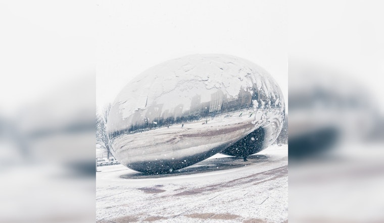
Chicagoans are bracing for a wintry mix as a series of snow events are set to blanket the city, causing potential travel disruptions and hazardous conditions. According to the National Weather Service Chicago, "Limited Snow Risk" is expected today, with accumulating snow likely to end by this morning. However, slick travel conditions may prolong on elevated and untreated roads, while pockets of fog could reduce visibility to under one mile at times. In addition, CBS News Chicago reports that snow showers will continue for Saturday, with less than an inch of additional accumulation expected, and winter storm watches may be issued by Sunday afternoon.
Looking further into the week, the quiet of Monday could be a brief respite before a stronger system swings through the area. "A strong storm system will move through the region Monday night through Tuesday night bringing gusty winds and accumulating wet snow to parts of the region," according to the National Weather Service, which signals the onset of a potential wintry system Tuesday that could disrupt the area as another mix of rain and snow is expected. Boaters should also take heed as hazardous conditions for small craft are likely from Monday, with gale force winds and very hazardous waves could arise by Tuesday on Lake Michigan, the National Weather Service warns.
For those facing the brisk lake winds and slippery sidewalks, tonight's forecast details a drop to a low of 29 degrees with the possibility of flurries, while Sunday is expected to be cloudy with flurries and a high reaching 37 degrees, based on information from CBS News Chicago.
Chicago's boisterous weather patterns continue into the week ahead with forecasts including "rain possibly mixed with snow", high winds, and warnings for the mariners on the lake while, on land, Chicagoans steel themselves against the elements, especially Tuesday, which holds a 100% chance of precipitation, reports the National Weather Service.


