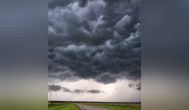
Residents across central Indiana are bracing for a mix of summer weather, as meteorologists predict isolated to scattered thunderstorms in the region today and extending into the evening. As detailed in an early morning update from the National Weather Service in Indianapolis, the main concerns with today's weather are expected to be lightning and brief downpours, capable of delivering heavy rainfall in short periods of time.
The advisory, which spans numerous counties, including Carroll, Warren, and Tippecanoe among others, points out the potential for thunderstorms to emerge, specifically this afternoon and early evening. While severe weather isn't anticipated, the repetitive nature of the storms could lead to quickly respond to any localized instances of minor flooding. Lightning remains a significant threat with any storm, no matter its severity, serving as a reminder for residents to practice safety whenever they see the skies darkening.
Looking ahead, the weather outlook for Tuesday through Sunday doesn't bring much respite from the stormy conditions. Scattered thunderstorms are on the docket for most of the late week, yet severe weather isn't on the radar at this moment. The National Weather Service has flagged high rain rates as the main culprit for any potential flooding issues, emphasizing vigilance for residents in affected areas.
The NWS has not called for spotter activation, often a sign that significant severe weather is not expected, but encourages the public to stay alert. For continuous updates and more detailed weather, hydrological, and climate information, the public can visit the National Weather Service Indianapolis webpage. With unsettled weather poised to hover over the area, keeping a close eye on the sky and the latest forecasts seems to be the prevailing wisdom for central Indiana this week.


