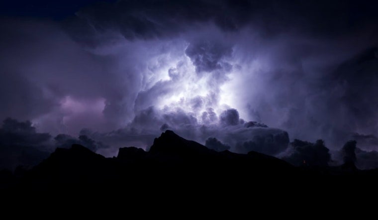
The National Weather Service in Indianapolis has issued a hazardous weather outlook for central Indiana, with a series of thunderstorms set to roll across the area starting this morning and continuing through tonight. Residents can expect scattered showers and possible severe thunderstorms with a high near 84 degrees Fahrenheit today.
Tonight, the chance of precipitation is pegged at 60%, and showers and thunderstorms are expected, mainly before 11 p.m. The week will continue unpredictably, with daily chances of storms that could turn severe. Each day brings a similar possibility of rain and thunder, with the highest threat of severe weather occurring this evening. Damaging winds are the primary concern, though all modes of severe weather are possible, including localized flooding and lightning.
According to the weather outlook, tomorrow will likely see a slight chance of showers and thunderstorms with a high rate of around 90 degrees. As the days progress, the threat level fluctuates, with Wednesday having a 30 percent chance of showers and thunderstorms primarily after 2 p.m. and heat indices that could rise beyond the century mark.
Looking forward, the hazardous weather outlook warns of continued storm chances through Friday, with the potential for heat indices to exceed 100 degrees mid-week. The end of the week promises no respite, with a report of a 50 percent chance of showers and thunderstorms till Friday night.


