Fog and the lingering possibility of isolated thunderstorms are setting a cautious tone for Indianapolis and its surrounding regions today. The National Weather Service in Indianapolis advises that, while a mere 20 percent chance of rain is predicted to taper off this morning, patchy fog is expected to persist until around 10 a.m. Mostly sunny skies should push temperatures to a high near 83 degrees with a gentle north breeze.
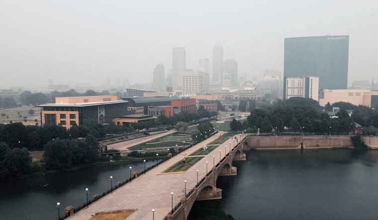
Motorists in the wake of yesterday's showers could find themselves enveloped in sudden patches of dense fog, particularly hazardous for early morning commuters. "If traveling through these areas this morning, be prepared for fog that could suddenly reduce visibilities to 1/4 mile or less," warned the National Weather Service. The fog is anticipated to lift as the day progresses, but drivers are advised to slow down and allow extra time to reach their destinations safely.
On a broader note, looking ahead, the forecast suggests a string of sunny to partly cloudy days with the nighttime breezes staying calm. High temperatures are expected to remain consistently in the low to mid-80s until Sunday when chances of showers and thunderstorms climb sharply to 60 percent. This wetter outlook ushers in the new week with similar probabilities of precipitation and possible thunderstorms persisting through Tuesday.
Residents in areas extending from Carroll to Jennings are under a hazardous weather outlook for the next several days. The National Weather Service cautions that "Thunderstorms are possible at times from late this weekend through much of next week." In any situation where thunderstorms do develop, the ever-present threat of lightning accompanies them. On the topic of community readiness, the statement clarified that spotter activation is not anticipated at this time.


