Residents in South Florida are bracing for a wet week ahead, with the forecast predicting a high likelihood of showers and thunderstorms. According to the National Weather Service, today will see showers and possibly a thunderstorm with a heat index as high as 100. Winds are coming in from the southeast, and there's an 80% chance of precipitation, bringing rainfall amounts between a quarter and half of an inch.
This trend continues into tonight, with an expected 60% chance of early thunderstorms before giving way to a mostly cloudy evening with a comfortable low around 79 degrees. The Storm Prediction Center is also monitoring a marginal risk of severe thunderstorms over parts of the Mid-Atlantic, and oddly, western Arizona, with no immediate threat to South Florida from these conditions.
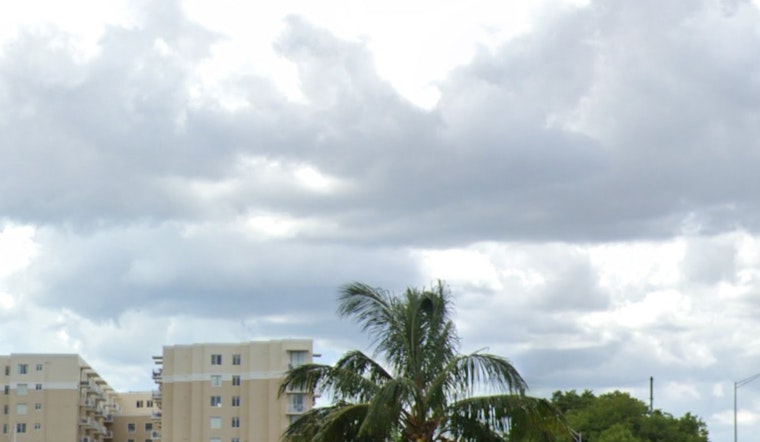
Looking ahead to the rest of the week, tomorrow keeps with the pattern of a 50 percent chance of afternoon showers and a high near 89 degrees. Conditions for Wednesday and the following days hold consistency, with rain chances hovering around 60%, and high temperatures near 90 degrees despite the expected precipitation. This is purportedly a result of a weak tropical wave passing near the region, which will provide a "brief reprieve from the excessive heat," as stated by the NWS Miami's morning update on X.
7/22 - Good morning!
— NWS Miami (@NWSMiami) July 22, 2024
Scattered to numerous showers and thunderstorms will be possible this afternoon and evening as a weak tropical wave passes near the region.
While it likely will be rainy and overcast, this will at least give us a brief reprieve from the excessive heat! pic.twitter.com/Cp5ob1WJcK
By the weekend, the cycle of daily thunderstorms is likely to persist, maintaining a persistent 60% chance of showers during the daytime. Residents could face more than just showers, with thunderstorms likely both during the day and at night, before a partly cloudy evening sets in with lows hovering around 79 degrees.


