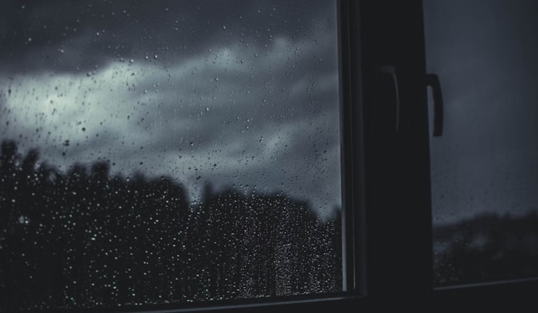
Central Indiana is on alert as the National Weather Service has signaled multiple rounds of thunderstorms today and tonight, with severe weather being a potential peril. Residents within and around Indianapolis are bracing for what could be a series of disruptive weather patterns, as per National Weather Service warns of storms that could carry damaging winds, threatening to uproot the calm previously forecasted. The certainty of precipitation swings notably high today, riding a 50 to 70 percent chance into the night.
Today's high is expected to hover near 88 degrees, but the humidity, which currently stands at 90 percent, is likely to add a weighty feeling to the air. As the day marches on, south and southeast winds are modest at best, 5 to 7 mph. However, it’s not just the thunderous applause of the heavens that residents need to worry about—there's a possibility of heavy rain. "New rainfall amounts between a quarter and half of an inch possible," as reported by National Weather Service, indicating a soggy day ahead for Hoosiers.
Heading into Friday, the likelihood of showers is not dissipating as scattered thunderstorms are expected to consolidate into more pronounced rainy conditions by the afternoon. Once again, a 70 percent chance of rain dictates the day's rhythm, guiding the actions of those who venture outdoors. Those grappling with the fluctuating Indiana climate will find small reprieve on Saturday, with a mere 20 percent chance of showers, teased by predominantly sunny skies and a high near 86 degrees.
In the aftermath of the forecasted storms, "spotter reports of flooding or wind damage would be appreciated," says the Hazardous Weather Outlook statement released by National Weather Service. The community's role in weather tracking points to a cooperation, a silent bond between the people and meteorologists striving to chart the course of the skies. Next week, the cycle tentatively recommences with thunderstorm chances returning on Tuesday. While the days are punctuated by tempestuous predictions, evening skies clear up somewhat, with lows resting comfortably in upper 60s to 70 degrees. Amidst this ebb and flow, one finds the undeniable rhythm of summer in the Midwest—unsettled, yet familiar in its unpredictability.


