Indianapolis residents can expect a tumultuous day of weather according to the National Weather Service, with scattered showers and potential thunderstorms lining the forecast,” NWS Indianapolis citing humidity at a stifling 96% and a dense fog advisory setting the stage for a muggy morning. Today's high is projected near 76 degrees, with southeast winds shifting southwest and a 60% chance of rain, promising a soggy afternoon ahead.
The atmosphere seems reluctant to let up as the evening approaches, with scattered showers potentially dousing the city before 8 pm, and a cooler night expected as temperatures dip to around 61 degrees. However, the coming days bring a reprieve from the recent downpour with only isolated showers anticipated for Wednesday and a mere 20 percent chance of rain- the sun might just peek through the clouds if the weather behaves as predicted.
The rest of the week appears to be locked in an indecisive pattern as mostly cloudy skies play host to occasional showers, with NWS outlook placing Thursday's rain chances at 30 percent and Friday seeing likely showers, where gusts could reach up to 31 mph, adding a brisk challenge to any outdoor plans. Temperatures continue to hover in the mid to high 70s, keeping the fall chill at bay for a bit longer.
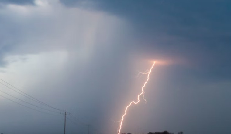
Heading into the weekend, consistency seems to be the theme; Saturday shows a similar pattern with a 50/50 chance of precipitation and gusts of up to 20 mph. The NWS has also issued a hazardous weather outlook for the area, warning of possible severe thunderstorms today that could usher in damaging winds, hail, and even the rare occurrence of an isolated tornado, with a sitewide activation of spotters on high alert to track the storm's movement.


