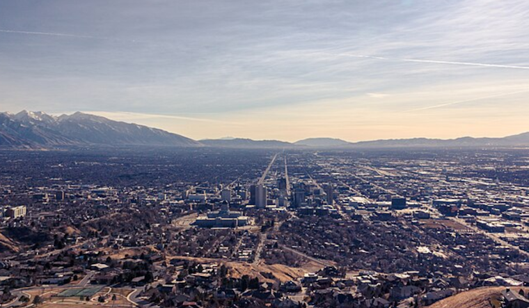
As Salt Lake City transitions into what appears to be an unsettled end to the week, residents can expect a noticeable shift in weather patterns starting from a clear and crisp morning to a likelihood of weekend showers. According to the National Weather Service, temperatures are expected to reach highs between the low 50s and 60 degrees Fahrenheit as the Thanksgiving holiday approaches. Locals may want to take advantage of the mild weather while it lasts.
The detailed forecast indicates today will see increasing clouds with a peak around 51 degrees, accompanied by a gentle south-southeast wind. However, tonight's dip to around 35 degrees could have people reaching for an extra blanket. The weather remains mostly sunny for Thursday and Friday, ideal for any pre-holiday errands or travel plans, with light east-to-southeast winds straying around the 5 to 7 miles-per-hour mark.
Stirrings of change arrive by Saturday, with a 30 percent chance of rain haunting the morning hours, followed by a likely rain occurrence Saturday night. The cloudy skies foreshadow the potential onset of less welcoming weather patterns, disrupting the brief sunny interlude experienced midweek. Those planning weekend activities should consider indoor options in response to the approaching rain.
As lakeshore rhythms are disturbed by the spattering of drops, the high on Sunday drops to near 44 degrees. Residents can anticipate the unsettled weather stretching into the beginning of the new week, with "rain likely" painted across the forecast. While the week starts partly sunny on Monday, the chance of rain and snow introduces a chilling prelude to what the NWS terms as "a chance of rain and snow" on Tuesday, reminding us of the impending winter grasp.


.jpg)