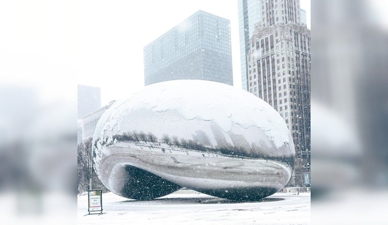
The forecast for Chicago promises a chilly week filled with multiple opportunities for snow, possibly affecting travel. According to the National Weather Service, today's cloudy skies will give way to snow after 3:00 A.M., with over a 70% chance of precipitation and modest accumulations of less than half an inch.
The snowy spell is set to continue with NBC 5 Meteorologist Kevin Jeanes forecasting a chance of rain and snow before 9:00 A.M. on Wednesday and further flurries anticipated later in the week. Through his observation of the imminent weather trends, Jeanes advised that come early Wednesday morning, those traveling, especially in counties to the north and west, should be cautious of potential road hazards as the area could see up to one inch of snowfall. These conditions are anticipated to "The snow could lead to slick roads, slippery travel and reduced visibility for Wednesday morning rush hour," Jeanes told NBC Chicago.
Residents should prepare for more snow on Thursday afternoon and evening, with a weather system bringing a mix of rain and snow that could complicate the evening commute. As the week draws to a close, the National Weather Service reports a 40% chance of snow showers primarily before noon, followed by mostly cloudy skies into the weekend.
After a chilly week, Jeanes predicts a noticeable uptick in the mercury, with a high of 41 degrees expected for Christmas Eve. Chicagoans may start to feel more comfortable outdoors as the festive period nears, with Jeanes suggesting that "there may be a stretch of days in the 50s" after the holidays. Whether the city will get to experience a 'White Christmas' this year remains to be seen, as this warm trend could leave snow lovers wanting. Chicago has experienced three 'White Christmases' since 2010, the last one being in 2022, providing just a glimmer of hope for a snowy landscape on December 25.


