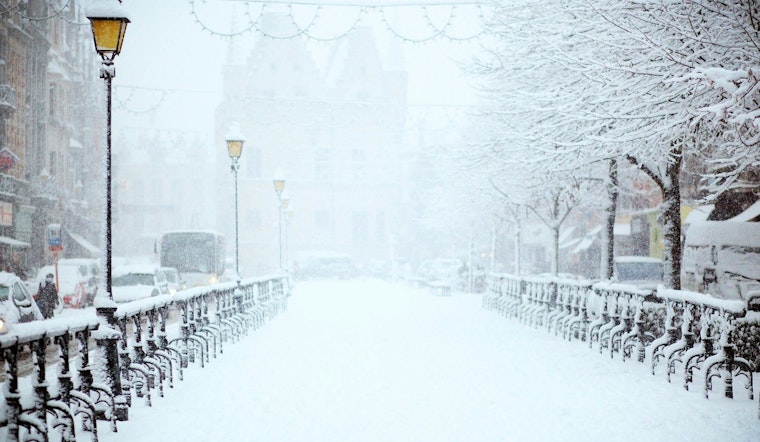
Indianapolis residents should brace for a week of varied weather conditions, as the National Weather Service in Indianapolis has forecasted a mix of snow, subzero wind chills, and potentially hazardous driving conditions. Starting today, there's a 20 percent chance of snowfall later in the day, generally under cloudy skies with an anticipated high around 33 degrees and a wind chill making it feel cooler at 19 degrees Fahrenheit.
The onset of the workweek doesn't promise any respite with Monday's temperatures expected to see a sharp decline, dipping to about 17 degrees in the early hours of the morning and a prediction of partly sunny skies; gusts could reach as high as 23 mph making even daytime seem relentlessly bleak—a reminder that winter in Central Indiana clings with an unrelenting grip that alters roads, routines, and the texture of our daily lives. According to the National Weather Service, Tuesday might offer a reprieve of sorts with slightly better conditions, though still largely overcast and a 40 percent chance of snow again casts a shadow over the potential for clear skies.
In a hazardous weather outlook, which is especially pertinent for residents spanning multiple counties including Carroll, Warren, and Tippecanoe, the NWS warns of a quick moving system likely to cause a blend of light snow showers and freezing drizzle across the northern half of central Indiana this afternoon and evening, Monday night through Wednesday night is projected to bear subzero wind chills that could take a heavy toll on anyone not dressed adequately for the severe conditions; and while spotter activation is not anticipated, caution while traveling and preparedness for the cold are prudent for everyone in the affected areas.
As the week progresses, the NWS indicates that Indianapolis will experience partly cloudy nights with lows bordering on the negatives—Wednesday night alone promises a low around 7 with a 20 percent chance of snow after 1am; these are nights that write their own suspense into the seams of the city requiring its denizens to adapt swiftly, to insulate themselves against the bite of a winter that does not ask, but takes. Looking ahead, the forecast for Thursday through to the weekend shows a gradual incline in temperatures, with highs approaching the mid-30s and a potential mixture of rain and snow toward the end of the week, illustrating once more the capricious dance of Indiana winters that seems to seldom settle into a rhythm we can trust.


