As the city of Salt Lake braces for a wave of changing weather, residents can expect conditions to swiftly shift from rain to the potential dusting of snow in the days ahead. According to the National Weather Service, rain is forecasted to start after 2 p.m. today, with a high temperature reaching around 53 degrees. As calm winds take on a southern direction, the chance of precipitation rises to a notable 70%.
Transitioning into the night, the likelihood of rain is certain, ramping up to 100%. Southeast winds will persist around 6 mph as temperatures settle around 40 degrees. Come Thursday, the weather is expected to take a turn; rain may mix with snow after 11 a.m., offering little to no accumulation but ensuring a steady chance of precipitation throughout the day.
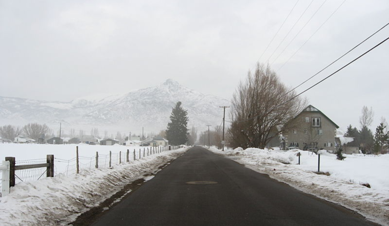
The NWS details that Thursday night will bring more rain and snow, turning exclusively to snow after 2 a.m., with a continued high chance of precipitation at 80% and low temperatures hovering around 35 degrees. There are not high expectations for snow accumulation, letting residents hope for clear roads and minimal travel disruption.
Heading into Friday, snow remains likely, mainly before the late morning, with partly cloudy skies and a peak temperature near 42 degrees. A shift in the winds coming from the northwest might herald the transition to clearer skies as the weekend approaches. The forecast for Saturday through Monday suggests a mostly sunny weather pattern with temperatures gradually warming up from the mid-40s to a pleasant 66 degrees by the beginning of next week.
However, by Tuesday, people in Salt Lake City should prepare for more mixed weather with rain and snow likely, and a high reaching near 52 degrees. As the days fluctuate between the promise of spring warmth and the reminder of winter's cold grasp, residents will do well to keep their wardrobes versatile and to stay abreast of the latest weather updates from NWS Salt Lake City.


.jpg)