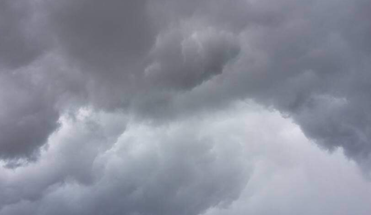
Residents of Salt Lake City should prepare for a damp and stormy day ahead, according to the latest weather update. The National Weather Service reported overcast skies with temperatures at a cool 51°F this morning. An 85% humidity level accompanies a northwest wind blowing at 6 MPH. For those venturing outdoors, it's advisable to don a waterproof jacket as the barometer reads 29.99 in, indicating a day filled with showers and possibly thunderstorms in the afternoon, with an 80% chance of precipitation.
The downpour is expected to cease by evening, making way for clearer skies and a low of around 44°F. Those looking to enjoy the outdoors can look forward to a sunny Thursday, when temperatures are projected to peak near a pleasant 69°F. The calm winds shifting northwest in the afternoon should mildly disrupt the otherwise serene day. Bringing in the weekend, Friday’s forecast promises more sun and an impressive climb in warmth to around 76°F.
As detailed by the National Weather Service, this reprieve is but a prelude to a weekend peppered with uncertainty. "A 30 percent chance of showers and thunderstorms after noon" is expected on Saturday, with mostly sunny skies giving way to a high of 79°F. The following night could introduce more showers and thunderstorms, casting a shadow with mostly cloudy conditions and a low of 54°F.
Preparing for the week ahead demands a certain flexibility from Salt Lakians, with Sunday's weather slated to bring a chance of showers and possibly a thunderstorm after noon amid mostly cloudy conditions and a high near 73°F. This pattern of unsettled weather persists into the new week, with showers likely and a potential for thunderstorms on Monday and Tuesday, hinting at a high near 64°F by mid-week.


