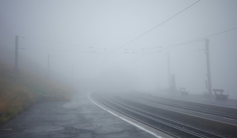
The National Weather Service in Indianapolis issued a series of alerts today, alerting residents to dense fog and potentially hazardous driving conditions across central Indiana; the fog advisory was specifically for visibility less than a quarter-mile until 10 AM EST.
According to the NWS forecast, after the fog lifted earlier this morning, the day was to continue with rain likely before 1 PM and a chance of drizzle into the afternoon, but the weather takes a turn with "a few strong thunderstorms producing gusty winds" possible by Sunday afternoon, an ominous harbinger for those with plans during the final days of the year, as if marking the season's capricious temperament.
The outlook stretched into the week, foreseeing a mix and transition from "rain will mix with or change over to snow late Sunday night into early Monday," although initial snow accumulation expectations remained low; temperatures seem to be on a rollercoaster, peaking near 64°F today before a plunge to lows around 25°F by Sunday night.
Further statements by NWS advised the community, reminding them "if driving, slow down, use your headlights, and leave plenty of distance ahead of you," not just common sense but essential guidance in conditions where the embrace of fog and drizzle seeks to obscure the clarity of one's journey, as travelers navigate through the waning holiday season's mercurial moods.


