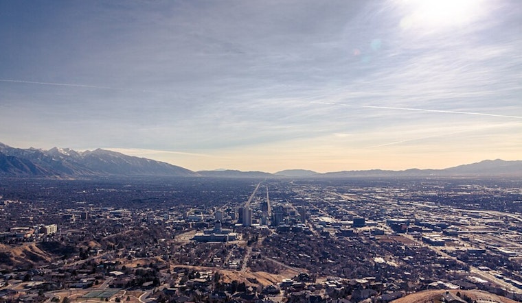
The National Weather Service in Salt Lake City, Utah, has issued a Wind Advisory that is in effect from 11 AM this morning to 5 PM MST this afternoon. Residents in multiple counties, including Tooele and Rush Valleys, Eastern Box Elder County, Northern Wasatch Front, and others, are bracing for west winds ranging from 20 to 30 mph and gusts that could reach up to 55 mph in valley locations, and even higher gusts up to 60 mph in certain mountain areas.
These conditions pose a variety of hazards. Gusty winds will blow around unsecured objects, and a few power outages may result, according to the National Weather Service. Additionally, the warning suggests that travel may be difficult for high-profile vehicles and vehicles with trailers, especially on north-south-oriented roadways. These winds are not merely a breeze to shrug off, but a force that commands a degree of respect and precaution. Residents are advised to secure outdoor items, including holiday decorations, which may become airborne hazards.
The weather is not just about wind, however, as the forecast also spells a wet period ahead for Salt Lake City and its environs. Today's forecast anticipates rain and possibly a thunderstorm between 11 AM and 5 PM, followed by a chance of rain and thunderstorms after 5 PM, with the high reaching near 57 degrees. The chances of precipitation are rated at a solid 90%, indicating that umbrellas and raincoats will likely be essential items throughout the day.
Tonight, the chance of rain drops to a 30 percent likelihood before clearing up around 8 PM. The temperature is expected to dip to a cooler 31 degrees, with north northwest winds slowing down to 5 to 8 mph before becoming calm in the evening. The coming days bring an interesting mix of rain and snow, maintaining a general trend of variably cloudy skies and fluctuating temperatures that hint at a climate in constant negotiation with itself.
For residents planning, the latter part of the week does not promise respite from the unsettled weather. A 30 percent chance of rain after 11 AM on Friday, transitioning into rainy conditions by night with a high probability of precipitation. The weekend continues with similar patterns of rain and mostly cloudy skies, with high temperatures hovering in the low 50s. This string of cloudy and wet conditions is expected to carry on into the early days of the following week.


.jpg)