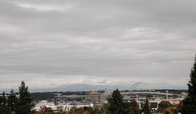
Saturday, February 28, 2026, Portland rolled out of bed to clear skies and a brisk 36°F at Portland International Airport, with barely a whisper of wind. Clouds will steadily fill in through the day, but temperatures still climb to a mild high near 55°F with a light north-northwest breeze. With high clouds streaming in, the odds of widespread fog or a hard frost have backed off, and any stubborn patches that do form should fade by late morning.
Afternoon And Evening
This afternoon stays mostly cloudy, with highs holding around 55°F and gentle NNW winds of about 2–6 mph. After midnight there is a small chance of some light rain brushing into the metro, while overnight lows settle in the low 40s. Most neighborhoods are looking at a sprinkle at most, and steady showers are not on the table tonight.
Weekend Rain Chances
A cut-off low sliding through northern California keeps the fattest wrap-around moisture aimed south of Salem, so Sunday’s better rain odds sit over Lincoln, Polk, and Marion counties and areas farther south. For the Portland and Vancouver metro, the chance of measurable rain Sunday comes in around 25–40%, and most valley spots should pick up less than a half-inch through Monday afternoon. Monday itself looks dry and a touch warmer, with highs nudging into the upper 50s ahead of the next system.
Coast And Boaters
Outer coastal waters stay on the choppy side today as a northwest swell slowly eases. Expect waves around 7–8 feet with periods near 11–12 seconds and offshore gusts up to about 25 knots. A Small Craft Advisory remains posted for the outer waters through 4 p.m., so anglers and recreational boaters are better off skipping offshore runs until seas calm down. Inner waters from the shoreline out to 10 nautical miles will be noticeably smoother, though still breezy near exposed headlands.
What To Expect Next Week
Rain makes a broader return by Tuesday, with the more robust batch arriving Tuesday night into Wednesday and a higher chance of steady, widespread rain in the middle of the week. According to the National Weather Service Portland, some 48-hour totals could top an inch in the Coast Range and Cascades, and snow levels may drop to roughly 3,500–4,500 feet on Wednesday. That would be enough for several inches of snow at Santiam and Willamette Passes. Valley winds are not expected to reach damaging levels, but gusts up to about 25 mph are possible in exposed spots, so plan on a soggier and breezier commute if you are out and about midweek.
If you are trying to squeeze in outdoor plans this weekend, today’s mild Saturday afternoon is your better bet, although a light jacket is smart on Sunday in case showers brush the metro. For background on this morning’s fog setup and yesterday’s marine advisory, see our update on frosty fog and afternoon sun.


