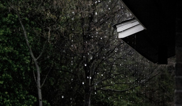
Seattle is back under its classic gray blanket this Sunday afternoon, Feb. 22, 2026, sitting around 45 degrees with a thick deck of clouds. Showers are set to ramp up through the day, with steadier rain likely Sunday night into Monday, Feb. 23, as a series of fronts marches across Puget Sound.
What's Coming
Multiple fronts are lined up to deliver lowland rain and mountain snow through Monday, with the heaviest and most persistent rainfall expected from late Sunday into Monday. In the lowlands, totals will generally range from a few tenths of an inch up to around a half-inch in spots. Higher elevations in the northern Cascades could pick up roughly 5 to 10 inches of fresh snow.
Southerly winds will be the rule, and gusts near 25 to 30 mph are possible in more exposed locations. According to NWS Seattle, the chance of precipitation stays high across the region through Monday, so outdoor plans probably need a backup option that involves a roof.
Travel and Marine Impacts
Commuters should be ready for slick roads and slower trips from Sunday night into Monday. Heavier bursts of rain will cut visibility and could leave standing water in low spots and on bridge decks, so hydroplaning will be a concern during the busiest drive times.
Southerly winds around 5 to 15 mph are expected, with stronger gusts near the water and on exposed ridgelines. Sea-Tac could see gusts into the mid 20s at times. Offshore and coastal waters look rough, with gales and 12 to 25 foot seas possible, so small-craft operators and ferry travelers should be prepared for delays or cancellations during the worst of the wind and waves.
Cascades And River Concerns
A Winter Weather Advisory is in effect for portions of the Cascades, including Stevens Pass and parts of the northern Cascades. Forecasters are calling for several inches of snow through Monday morning, with light accumulations possible at Snoqualmie Pass, enough to make for slower and occasionally messy pass travel.
The Skokomish River and other low elevation rivers remain ones to watch, since rain falling on a thin mountain snowpack could trigger brief rises early next week. For more local background and yesterday's briefing on this same pattern, see our earlier look at howling east winds and soaking storms.


