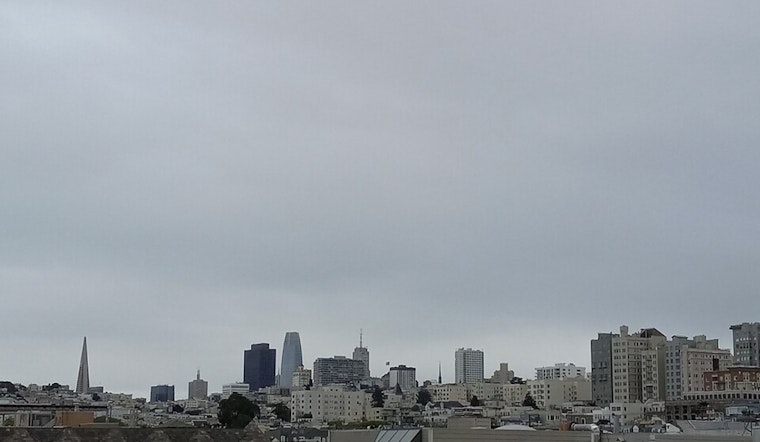
San Francisco woke up shivering today, with temperatures hovering near 41°F and patchy showers already moving through the city. Fog and light drizzle slowed parts of the early commute, giving the morning a gray, sloggy start.
When The Rain Will Hit Hardest
Rain is expected to pick up today, with showers likely before mid-afternoon and daytime highs topping out around 52°F before sliding into the low 50s. A more organized round of rain arrives after 7 p.m., with some neighborhoods potentially seeing a half to three-quarters of an inch overnight, while daytime totals stay lighter at roughly a tenth to a quarter inch, according to NWS San Francisco.
Coastline Trouble And Dangerous Surf
Pacific Coast beaches are under a High Surf Advisory through Friday morning, Feb. 20, with large breaking waves around 18 to 22 feet and dangerous sneaker waves expected. Those conditions are likely to create strong rip currents and pockets of localized beach erosion. Officials are urging people to stay off jetties, piers and rocks, and to stay out of the water until the surf backs down. For a closer look at how this pattern has already affected local travel, check out how soaked streets and swollen tides have snarled the San Francisco commute.
Thursday’s Wind And Near-Record Chill
A stronger low-pressure system is set to swing through tomorrow, bringing gusty northwest winds that could reach about 28 mph along exposed shorelines, with even higher gusts over the ridges. Late Thursday into Friday morning, temperatures are forecast to tumble toward near-record cold at some long-term observation sites. Forecasters say the combination of wind and low temperatures will make nights feel especially raw, so it is worth checking on vulnerable neighbors and pets, per NWS San Francisco.
Mountains, Passes And The Daily Grind
Higher terrain is in line for snow showers as snow levels fall to roughly 2,000 to 2,500 feet. Highway 17 near the summit could see brief snow flurries or light accumulation that may create slick patches for morning commuters. In the city, drivers should expect slick streets and short-lived ponding at high tide along the Embarcadero and other low spots, so give yourself extra time and ease off the gas around standing water. Ferry riders and small-boat operators can plan on choppy conditions and possible schedule impacts through the week.
How To Ride It Out
Grab a rain jacket and shoes with good traction, tie down or bring in any loose outdoor furniture, and skip walking on exposed shoreline structures while the surf is up. Check service alerts from SFMTA, BART and ferry operators before heading out. If you or someone you know needs shelter or help during the cold nights ahead, call 311 or 2-1-1 to find local openings and resources.


