Portland is waking up under cloudy skies and about 41°F this morning, Tuesday, March 31, 2026, with inland temperatures still expected to climb into the mid to upper 50s later today. The quiet stretch will not last long. A stronger Pacific front is set to roll in on Wednesday, bringing steady rain across the metro and a fresh round of Cascade pass snow that could complicate travel through Thursday.
Storm Timeline
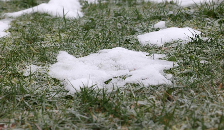
Rain is expected to ramp up early Wednesday, April 1, 2026, with the steadiest and heaviest precipitation likely from Wednesday afternoon into Thursday morning as the main front and a trailing cold band sweep through. According to the National Weather Service, new rainfall totals across many areas should land in the quarter to three quarters of an inch range, with a 40 to 60 percent chance of more than 1 inch in parts of the southern Willamette Valley. Snow levels are forecast to drop to roughly 2,000 to 3,000 feet, which will support accumulating snow at the mountain passes.
A Winter Storm Watch is in place for the northern and central Oregon Cascades from 5 a.m. Wednesday, April 1, through 5 p.m. Thursday, April 2. Over the coastal waters, a Gale Watch is posted for Wednesday.
Cascades Travel Risks
Santiam and Willamette Passes are the most likely spots to see the heaviest mountain snow from Wednesday afternoon through Thursday morning, with elevated odds of foot-level accumulations that could lead to chain requirements and possible closures. If you are planning a trip over the passes, pack extra warm layers and emergency supplies, and check road conditions and restrictions in advance at TripCheck. Updates from ODOT and WSDOT will be crucial for anyone attempting to cross the Cascades during the watch period.
Winds And Coastal Hazards
Southerly winds will strengthen on Wednesday, bringing breezy to locally gusty conditions inland and stronger gusts over higher terrain. Offshore, coastal waters are expected to see gale force gusts at times on Wednesday morning. Mariners should anticipate steep, choppy seas and elevated wave heights from Wednesday into Thursday, and small craft operators are urged to use extra caution.
What To Do
Plan for longer commutes, secure loose outdoor items, and be prepared for wet roads and reduced visibility during travel on Wednesday. For quick updates, keep an eye on the National Weather Service, and check TripCheck for closures and chain law requirements before you head out.
High pressure is expected to build in later in the week, bringing a drying trend and a warmer pattern into the weekend, with sunnier skies and highs in the mid to upper 60s by Sunday into Monday. Ensemble guidance shows growing uncertainty beyond early next week, so it is worth monitoring the forecast if your travel plans stretch past Monday.


