Seattle woke up Monday under a solid gray lid of clouds with temperatures around 46°F at Boeing Field and light rain already showing up in spots. A moisture plume from the Pacific, an atmospheric river, is queued up to send repeated rounds of rain into midweek and keep daytime highs stuck in the mid-50s. South winds will stay steady and at times breezy, and forecasters say rivers and coastal waters warrant close attention as heavier bands move in. Expect wet commutes, slick bridges and standing water in the usual low-lying trouble spots through Wednesday.
What To Expect Today
Rain is likely before 2 p.m. Monday, with a high near 55°F and a brief lull expected this afternoon before another round moves in tonight and into Tuesday. Most neighborhoods should pick up only a few tenths of an inch early in the day, but heavier periods are on the table with the next frontal push. South winds will run about 8 to 12 mph, with higher gusts in more exposed areas. According to the National Weather Service, precipitation chances stay elevated through midweek.
Rivers And Marine Concerns
Hydrologists report the Chehalis and other lowland gauges are running high. The Chehalis at Porter is cresting this morning and is expected to dip back below flood stage later today, although new rises are still possible later in the week. Small Craft Advisories are up for coastal waters and parts of Puget Sound through early Tuesday as southerly flow strengthens and seas remain elevated. If you live near a river or creek, avoid driving through standing or flowing water and follow any evacuation instructions if they are issued. See KIRO7 for local gauge maps and details.
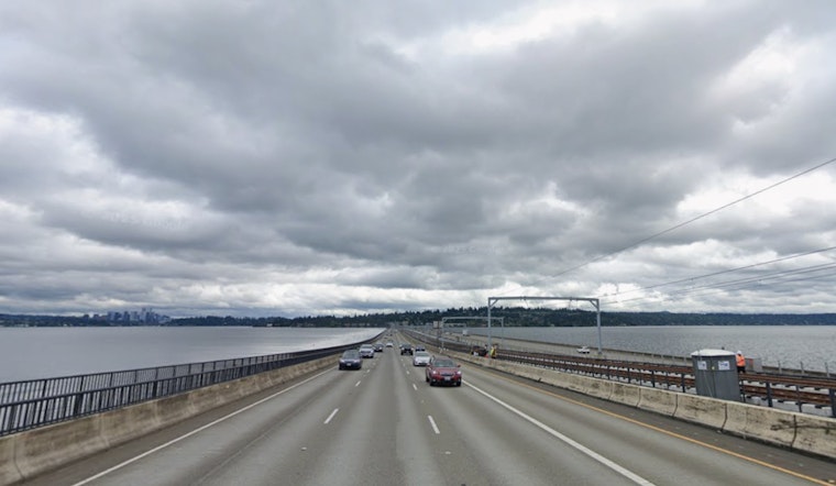
Commute, Ferries And Outdoor Plans
The soggy setup will slow traffic and cut visibility during both the morning and evening commutes through Wednesday, so build in extra travel time and keep an eye out for standing water on low streets. Ferry riders and cyclists should plan for choppy conditions and gusty southerly winds that can delay sailings and turn exposed bridge decks into slick lanes. For the latest watches, marine advisories and river forecasts, check the National Weather Service and your transit provider, and see this windy Wednesday splash zone coverage for background on the week's flood risks. Secure outdoor items, ease off the gas on wet roads, never drive through flooded roadways, and call 911 for immediate hazards.


