Portland wakes up cloudy and about 54°F at Portland International Airport this morning, and the quiet stretch is about to end. Rain returns to the metro on Tuesday, March 24, 2026, with the wettest window expected from late morning into the afternoon and a high near 58°F. South-southeast winds will ramp up through the day, which means slick roads and commutes that move more like a slow crawl than a smooth glide.
When Rain Arrives
The National Weather Service expects rain to spread inland late Tuesday morning and become most likely through the afternoon. New totals should land at a few tenths of an inch across the Willamette Valley, with higher amounts along the coast and in the mountains. Look for periods of moderate to locally heavy rain through the midday hours and the afternoon commute, with the best odds for steady rain from late morning into early evening. A waterproof layer is your friend today, and drivers should plan extra time for slower-going surface streets.
Afternoon Winds Pick Up
Breezy southerly winds will be part of the package. Inland gusts are expected to commonly reach 25 to 35 mph, while the coast could see gusts near 40 to 45 mph, with a few stronger bursts possible on exposed headlands. The strongest winds should arrive with the frontal passage and then ease by Tuesday evening, although gusty showers may hang on into Wednesday. Mariners and beachgoers should steer clear of the surf and expect hazardous seas off the coast.
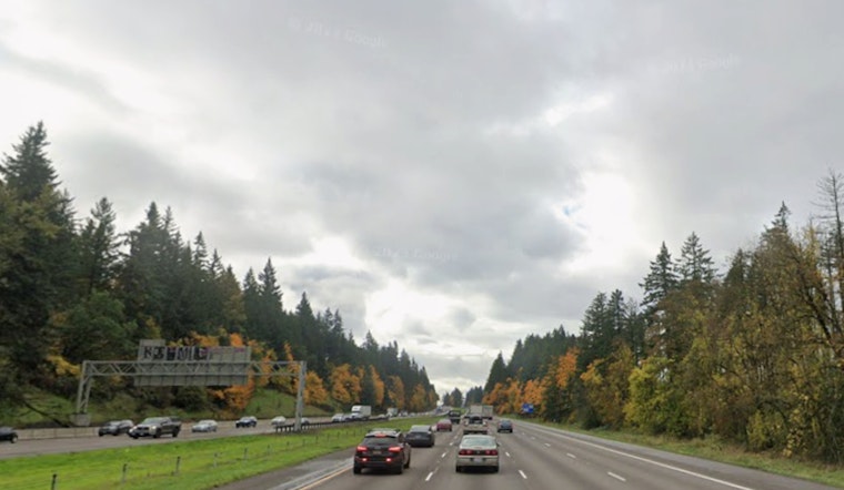
How This Could Affect Your Commute
Wet pavement and gusty bursts will likely slow rush-hour traffic and turn bike lanes into splash zones. Cyclists and pedestrians should take it easy in crosswinds and puddles that can hide slick spots or debris. Portland International Airport could see gusty southerly winds and occasional delays this afternoon, so check with your airline if you are flying today. This wet pattern first showed up in our earlier look at a shot at snow, but the added gale conditions along the coast make today's commute the bigger headline.
Late Week Break
Showers taper Wednesday, with a chance for isolated thunderstorms inland and limited mountain snow around the passes. Valley roads should stay wet rather than snowy. By Thursday, skies start to clear and temperatures climb into the weekend, with mid 50s on Thursday, low to mid 60s on Friday, and the best chance for upper 60s to near 70 inland on Sunday.


