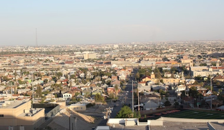
Thursday, April 23, El Paso woke up to a warm, bone-dry start, with morning temperatures near 70°F and relative humidity already down in the teens. By afternoon, west winds are expected to kick up, stirring patchy blowing dust in exposed lowland corridors and pushing fire-weather concerns into the evening. In other words, plan on a gusty backdrop for school pickups, commutes and any late-day outdoor plans.
Afternoon Winds Pick Up
West winds are forecast to strengthen through the afternoon, with sustained speeds around 7 to 20 mph and gusts near 26 mph as highs climb to about 84°F across the lowlands. The dust threat picks up after noon, especially in open areas and along desert corridors, where sudden drops in visibility can catch drivers off guard. These details line up with the National Weather Service forecast for the Borderland.
Fire Weather Concerns
A Red Flag Warning is in effect for portions of southern New Mexico from 10 a.m. to 8 p.m. MDT on Thursday, April 23, and nearby lowlands will stay critically dry through the afternoon. With humidity in the single digits to low teens and gusty west winds, conditions will range from elevated to critical for fire spread. That means no open burning and extra caution with anything that can throw a spark, from power tools to vehicle chains. For a look at how this wind and dust pattern has been building, see Hoodline's April 22 coverage: Howling Desert Winds Put El Paso On Red Flag Edge.
Looking Ahead
The warm, dry streak is set to hold through the weekend, but Sunday is shaping up as the main troublemaker. Forecasters say southwest and west winds on Sunday, April 26, could reach 20 to 30 mph, with gusts as strong as 50 to 60 mph in exposed areas. That would boost the risk for more widespread blowing dust and another round of critical fire weather. Overnight lows are expected to stay in the upper 50s to mid 60s, while daytime highs hover in the mid 80s into early next week.
How To Stay Safe
Before the afternoon winds arrive, secure loose patio furniture, tarps and trash bins so they do not turn into airborne projectiles. Skip outdoor burning or brush-clearing in dry areas, since even a small spark could spread quickly. If dust knocks down visibility on the road, pull well off the travel lane and wait out the brownout. People with respiratory issues should limit time outside and follow any advice from local health officials.


