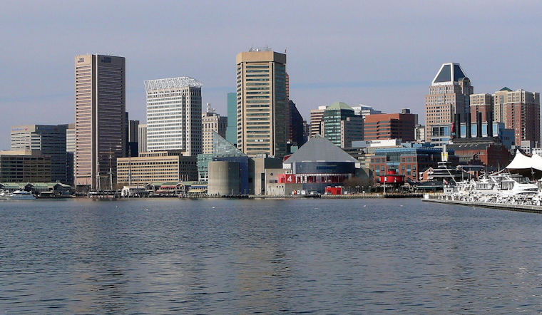
Baltimore woke up to blue skies and a stiff breeze today, as a cool north wind kept early morning temperatures in the low 60s and capped the afternoon near 73°F. It will feel a touch cooler than the numbers suggest, especially around the Inner Harbor and over exposed bridges, with sustained winds in the teens and gusts pushing into the upper 20s by mid-afternoon.
Afternoon Winds Pick Up
The windiest stretch will hit in the middle of the day, with north winds around 12–16 mph and gusts up to about 28 mph. According to the National Weather Service, small craft advisories are posted for parts of the Chesapeake through this evening, so kayaks and small boats are better off staying docked or double-checking gear. Around town, it is a good idea to tie down patio furniture and secure trash cans, since those higher gusts can jostle lightweight items and make bridge crossings feel especially blustery.
Weekend Outlook
Sunday, May 31, 2026, brings a bit more warmth with plenty of sunshine and a high near 77°F. Monday, June 1, 2026, should nudge into the upper 70s to around 80°F before a weak frontal boundary moves through. Rain chances stay on the low side to start the week, with only a slight chance of afternoon showers and isolated thunderstorms on Tuesday, June 2, 2026, so most outdoor plans look safe. Temperatures continue a slow climb later in the week, with highs edging into the low 80s by Thursday and Friday.
Tides And Boaters
Tidal levels are running a bit higher than normal this weekend, and Annapolis could brush up against minor coastal flooding around high tide, especially if winds swing to the south Sunday night, May 31, 2026. Anyone heading for the waterfront should check local tide predictions. The NOAA Tides & Currents site offers current water-level guidance for Annapolis and the Bay. Waterfront businesses and homeowners should stay tuned to updates and have sandbags or a quick plan ready in case water reaches those usual trouble spots.
What This Means For You
It is a solid day for errands, a walk around the neighborhood, or outdoor dining, as long as you bring a light layer and do not trust flimsy napkins to stay put. Before you head out, secure anything that might blow around. Boaters, paddleboarders, and anyone hosting late-day events on the water should check advisories, and commuters should be ready for stronger gusts on area bridges during the afternoon rush.


