Wednesday started on the cool and gray side in Portland, with temperatures near 55°F at Portland International Airport and a stubborn marine layer clinging to the river and the coast. Inland neighborhoods should watch that low cloud deck retreat through the morning, setting up a quick warm-up. Highs away from the water are expected to reach the upper 70s, with a few spots pushing up to about 79°F by late afternoon.
Sunny Afternoons, Foggy Mornings
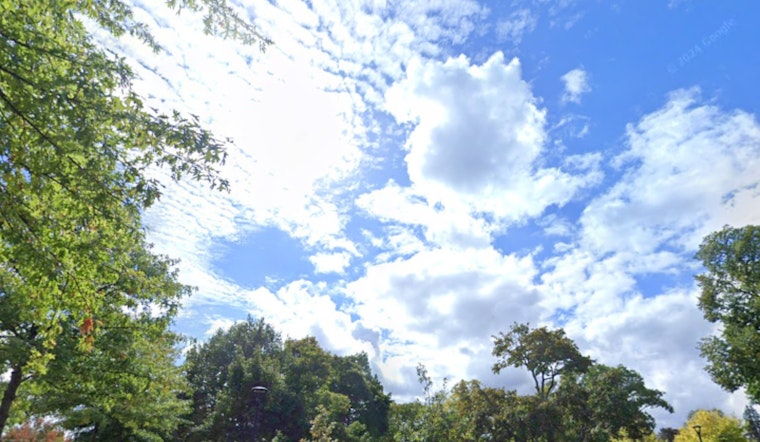
Morning low clouds and spotty drizzle will hang on the longest near the coast and through coastal gaps, but sunshine and drier air are expected to fill the Willamette Valley by midday, allowing temperatures to climb into the upper 70s. Winds should stay light for most of the area, around 1–5 mph, so patios, parks, and backyards should feel comfortably mild this afternoon. The forecast comes from NWS Portland.
Gorge Gusts And 7–9‑Foot Seas Tonight
West to northwest winds that follow the day–night temperature cycle will pick up through the afternoon and evening, with the Columbia River Gorge likely seeing gusts in the 25–30 mph range and a building northwest swell pushing offshore seas to 7–9 feet by tonight, which can make small‑craft operations choppy. A weak upper‑level disturbance arriving Friday is expected to trim temperatures by only a few degrees and bring minimal rain chances into Saturday for most of the area. Those timing and marine details are laid out in the NWS forecast discussion.
What This Means For Your Day
If you have morning errands near the river or coast, plan on a light jacket and the possibility of reduced visibility in patches of low cloud or drizzle. Inland afternoons will be the prime window for outdoor plans and lawn work, with mild temperatures and light winds. Sunscreen is still a smart move during the warmer afternoon hours, and drivers should be ready for occasional gusty stretches if you are crossing the Gorge. There are currently no watches or warnings in effect for the Portland area.


