Baltimore is waking up to a mostly sunny Monday on June 8, 2026, with morning temperatures in the upper 60s and an afternoon high near 81°F. East winds around 6-12 mph will keep humidity in check, delivering a brief and pleasantly comfortable start before a serious warm-up later in the week.
Afternoon Winds Pick Up
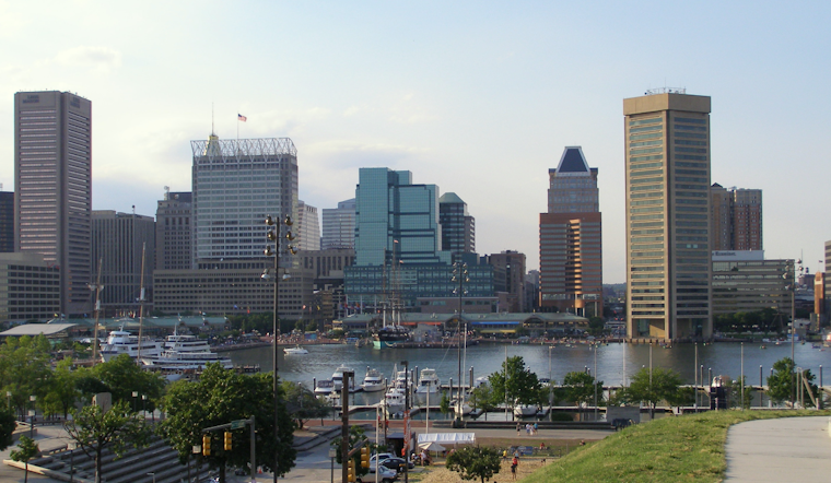
By midday into the afternoon, expect a noticeable uptick in the breeze, with east to southeast winds staying around 6-12 mph and gusts that may reach 20-25 mph in more exposed spots. Boaters, cyclists, and anyone crossing bridges or hanging out along the waterfront should be ready for sudden gusts that could kick up sea chop on the upper Bay.
Where To Cool Off
Looking ahead to the heat, Baltimore activates cooling centers, libraries, and recreation centers when a Code Red alert is issued. You can find locations and hours on the map and flyer from the Baltimore City Health Department, or call 311 for the latest updates.
Hot, Humid Spike Wednesday–Friday
The comfortable air does not stick around for long. By midweek, temperatures jump sharply: Wednesday, June 10, 2026, is forecast to reach around 92°F, and Thursday, June 11, 2026, could climb to about 98°F. That kind of heat will push some locations close to, or even past, local records. Heat indices may slide into the lower 100s, and scattered afternoon thunderstorms are expected, with the potential for brief heavy downpours and gusty winds, according to the National Weather Service.
This heat surge has been building for a few days. For more context, you can look back at our June 7 coverage of the developing heat pattern and marine advisory. That earlier report on how Baltimore braces for a blazing afternoon also includes tips for planning around waterfront conditions.
Tides And Waterfront
Southerly flow from Tuesday into Wednesday night will push water northward up the Chesapeake, raising tidal anomalies and increasing the odds of minor, and in some forecast guidance, near-moderate flooding in typical trouble spots such as Annapolis and other low-lying shorelines. Parking in waterfront lots and driving on low streets near the water could be affected around peak high tides, so residents are urged to keep tabs on tide times and coastal advisories from the National Weather Service.
Plan Ahead
With a toasty stretch lining up, it is worth plotting your week now. Aim for outdoor activities in the cooler early morning hours, drink more water than you think you need, and have a quick shelter option in mind in case those afternoon thunderstorms suddenly flare. Keep checking updated forecasts before heading out, as this easygoing start to the week gives way to near-record heat and spotty storms around Baltimore.


