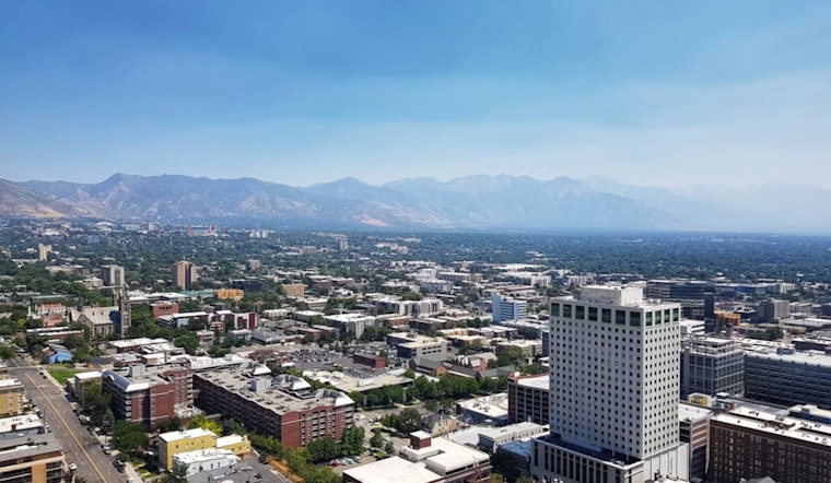
Salt Lake City is waking up mostly clear and comfortably cool on Tuesday morning, June 2, sitting in the mid‑50s with a sunny day ahead and a high near 84°F. Light north‑northwest breezes should keep the afternoon pleasant, but a sharper warm‑up is already lining up for the rest of the week. If you have outdoor plans, it is a good time to start shifting strenuous activity to the morning or evening and keeping water close by.
Heat And Fire Weather Trend
Temperatures are on track to climb sharply on Wednesday and Thursday, with highs near 90°F on Wednesday and mid‑90s possible by Saturday. According to the National Weather Service, the warming, combined with low overnight humidity recoveries, will increase the risk of heat‑related illness and raise the threat of elevated to locally critical fire weather as gusty southwest winds spread inland later in the week.
What To Expect Today
For Tuesday, look for sunny skies through the afternoon with light north‑northwest winds of 1–8 mph and low humidity. UV values will climb quickly during peak sun. Plan errands and outdoor projects for the cooler morning or evening hours, and check on pets, neighbors, and anyone who may be sensitive to the heat.
Where To Cool Off
Salt Lake City and Salt Lake County maintain public cool‑zone listings, and libraries and community centers are often designated relief sites during heat spells. See Salt Lake City for locations and hours; resource centers such as the Gail Miller Resource Center also operate around the clock for people who need immediate help.
Bottom Line
Sunny and pleasant today, with much hotter conditions expected from midweek through the weekend, along with increasing afternoon winds and elevated fire‑weather concerns. Keep an eye on local forecasts, cut back on midday outdoor exertion, and use the city’s cool‑zone listings if you need relief from the heat.


