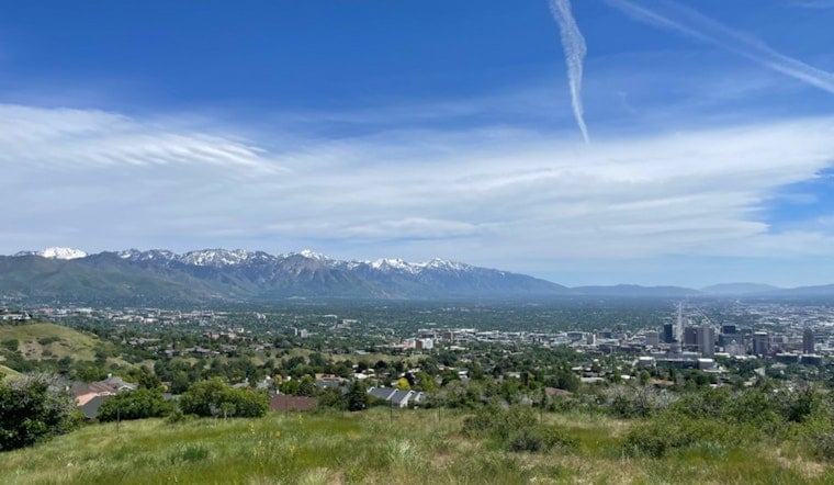
Salt Lake City is kicking off the week on a bright and toasty note. Clear skies and a mild 61F greeted travelers at Salt Lake City International Airport Monday morning, and temperatures are set to climb fast, with a high near 88F expected today. With low humidity and warm nights in the mix, there will be little overnight relief through midweek.
What To Expect
The valley is on track to reach the low 90s on Tuesday, June 16, and again on Wednesday, June 17, with highs around 92F both days. Farther south, it gets even hotter later in the week, with some forecasts calling for readings near 97°F in southern Utah on Friday, June 19. These timing and temperature projections come from the NWS Salt Lake City.
Afternoon Winds And Fire Weather
A very dry airmass will shove afternoon humidity into the teens or even single digits across parts of central and southern Utah, and overnight recoveries are expected to be poor. Forecasters say gusty northwest winds from Tuesday into Wednesday could ramp up fire danger, and a Fire Weather Watch is in effect from Tuesday afternoon, June 16, through Wednesday evening, June 17, for portions of the state.
Where To Cool Off
Salt Lake County runs a Cool Zone program, with libraries, recreation centers and senior sites that open as cooling centers during heat events, and maintains an interactive map and guidance for residents. You can find locations and heat safety tips through Salt Lake County Emergency Management.
Plan Ahead
If you have outdoor plans this week, try to shift strenuous activity to the cooler morning or evening hours, carry plenty of water, and skip open burning or spark-producing equipment. Keep an eye on local advisories, and check the NWS and county pages for updates before you head out.


