

























































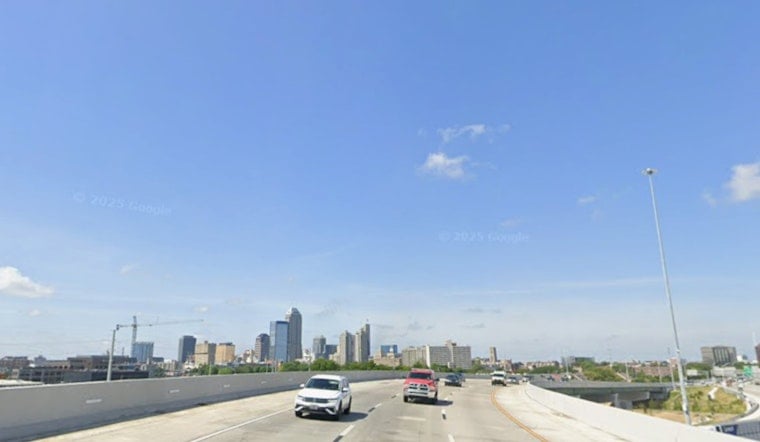
As of 5:35 a.m. Tuesday, July 28, Indianapolis was already sweating through the pre-dawn hours, with temperatures in the upper 70s and dew points in the mid 70s. Patchy fog and low clouds hovered over low-lying neighborhoods and stretches of the White River, threatening to slow the morning commute. Skies are expected to turn partly sunny by late morning, with highs near 86°F and a noticeably fresher afternoon breeze.
Morning Fog And Muggy Start
Patchy fog may reduce visibility around daybreak Tuesday, July 28, especially in river valleys and parklands, so drivers should take it slow and build in a little extra time. The airport observation at 5:35 a.m. showed about 77°F with a dew point near 75°F, which means the air will feel sticky until winds shift to the northwest later this morning.
Breezy, Mostly Dry Midweek
Indianapolis should see partly sunny skies and a high near 86°F Tuesday, July 28, with northwest winds around 8 to 12 mph and gusts up to about 21 mph in the afternoon. Wednesday and Thursday are on track to be drier and a touch cooler, with highs in the low to mid 80s and lower humidity, making outdoor plans more comfortable. According to the National Weather Service, rain chances stay low through Thursday.
Weekend Storms Return
Humidity is expected to climb again late in the week ahead of a weak front, boosting the chance for showers and thunderstorms Friday, July 31, into Saturday, August 1. Saturday currently has the best odds for widespread storms, with guidance showing showers and thunderstorms likely and a roughly 60% chance of rain. For background on how quickly conditions have shifted this month, see our earlier report.
Plan Ahead
Bring water if you will be outdoors and avoid puddles if brief heavy rain moves through Saturday, since strong downpours can produce localized ponding. If you rely on transit, watch for route delays during any morning fog or heavier storms later in the weekend.





