

























































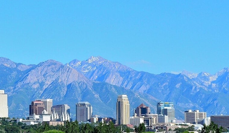
Salt Lake City woke up under clear skies and a light southeast breeze on Saturday, July 18, with the KSLC observation already near 79°F this morning. The rest of the day will stay mostly sunny and hot, with a high near 93°F and only modest cooling after dark. Monsoonal moisture will keep feeding a pattern of daily afternoon storms through much of next week, serving up a combo of intense heat and quick-hitting downpours.
Afternoon Storms And Flash Flood Risk
By around midday, scattered showers and thunderstorms are expected to bubble up over the Wasatch Range, then drift into nearby valleys. The valley has about a 20 to 30 percent chance of seeing storms this afternoon. Any storm that does form can unleash brief heavy rain, which can trigger flash flooding in slot canyons, dry washes and recent burn scars. According to the National Weather Service, a Flood Watch is in effect for portions of southern Utah this afternoon, and the agency notes a marginal risk of exceeding flash-flood guidance across much of the state into early next week. If you live near canyon roads or burned areas, keeping an eye on the radar is strongly advised.
Heat And Timing
The heat will keep cranking up through the weekend, with Sunday's high forecast near 97°F and Monday potentially peaking around 99°F. Overnight lows will linger in the low 70s, which means limited relief once the sun goes down. If you do not have reliable air conditioning, Salt Lake County maintains public cool zones, and our earlier coverage has a rundown of locations and safety tips, which you can find in our triple digit inferno forecast, as per Hoodline. Workers, athletes, and pet owners should plan around the hottest stretch of the day in the early to mid-afternoon.
What This Means For Your Plans
Afternoon and evening storms may kick up gusty, erratic outflow winds and briefly reduce visibility. Heavy downpours can quickly create ponding on roads and may temporarily close narrow canyon routes. If you are planning outdoor activities later today, it is worth shifting them earlier or taking them indoors, and keeping tabs on local updates and radar for any sudden storm that decides to pop up.




