

























































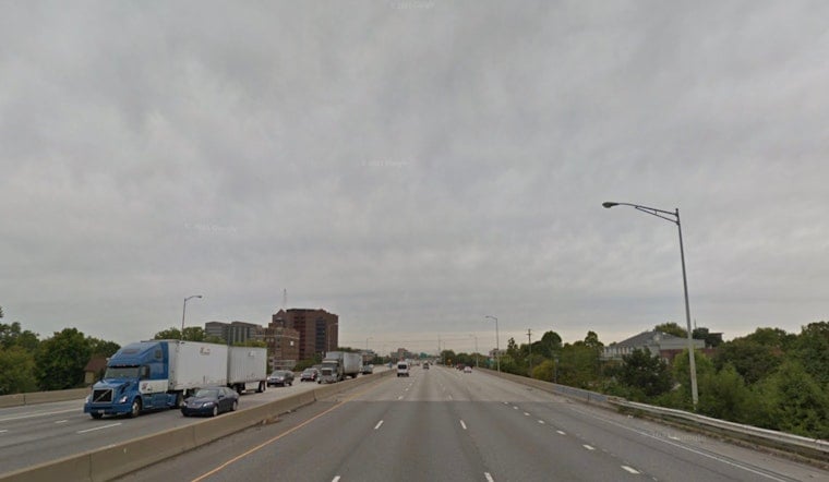
Friday, July 10, 2026, is serving up a classic midsummer mixed bag in Indianapolis. The day began warm and murky, with Indianapolis International Airport (KIND) reporting mostly cloudy skies around 72°F and humidity stuck in the mid-90s. Patchy fog in low-lying spots is expected to lift by mid-morning, but scattered showers and thunderstorms are likely later in the day as temperatures climb toward a high near 87°F. Keep an umbrella handy, since brief heavy downpours could slick up roads during the midday and afternoon commute.
What To Expect Today
Once the fog burns off by mid-morning, skies should turn partly sunny, but do not let that fool you. Scattered showers and storms are set to bubble up through the afternoon and into the evening. Southwest winds will stay on the light side at about 1 to 6 mph, which means storm cells may crawl along and dump a quick, intense burst of rain in a few unlucky spots. Most neighborhoods will probably just catch a brief shower, but it is still smart to build in extra travel time.
Afternoon Storms And Flooding Risk
Forecasters note that the atmosphere is very moist, and slow-moving storms could trigger localized flash flooding through Saturday. An isolated strong storm with damaging wind gusts cannot be ruled out. Overnight rainfall totals should stay modest for many areas, but on Saturday, any neighborhood that gets repeat cells could see pockets of heavier rain, on the order of a quarter to a half inch. These details come from the forecast discussion issued by the National Weather Service.
Weekend Outlook And Planning
Saturday stays muggy with more scattered showers and a high near 85°F, before a drier and warmer stretch settles in early next week. Highs then are expected to return to the upper 80s and low 90s. For more context on the recent soggy pattern and how storm chances have been evolving, check out our July 5 Hoodline story on fog and pop-up storms messing with the Indy commute.
How To Prepare
Give yourself some wiggle room for trips this afternoon and take a quick look at radar before you head out. Skip driving through standing water, and be ready to move outdoor plans inside if storms start to build. If you depend on transit or have an event planned outside, prepare for brief interruptions and heavy downpours that could lead to localized street flooding in spots.





