

























































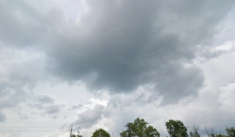
Indianapolis woke up to a muggy, mostly cloudy Tuesday, with temperatures hovering near 74°F and the air feeling every bit as heavy as it sounds. Scattered showers and thunderstorms are on deck from mid-morning into the afternoon, which could turn commutes into a slow, splashy slog. The good news is that most of the stormy action should move out by early evening, with noticeably cooler and less humid air sliding in overnight.
When Rain And Storms Are Most Likely
Showers and thunderstorms are possible before 8 a.m., with better coverage expected between about 8 and 11 a.m., then another round of scattered storms from late morning through mid-afternoon. New rainfall amounts of a quarter to a half-inch are on the table in heavier cells, which is enough for brief downpours and local ponding on roads and low spots. Winds will run southwest to west at about 8 to 13 mph during the day, and stronger storms could kick gusts up to around 22 mph.
Severe Threat And Where It's Greatest
Some scattered storms may flex into the strong or severe category, mainly across southeast portions of the Indianapolis metro where conditions are most favorable. Damaging wind gusts are the primary concern. An isolated tornado and large hail are also on the list of possibilities in the stronger cells, and forecasters note that localized flooding could pop up under slow movers, according to the National Weather Service Indianapolis. The greatest severe risk runs from mid-morning into the afternoon, so this is the time to move vehicles out from under trees and secure loose outdoor items if you can.
Commute And Outdoor Plans
Plan on building in some extra time for the morning and midday commutes. Pockets of heavy rain can trigger quick slowdowns and standing water at underpasses and other low spots. Outdoor events should have a solid backup plan between roughly 8 a.m. and 4 p.m., since lightning and gusty winds are the most likely reasons you might have to pause or clear out temporary setups. Flyers beware too, as airports and flights could see delays if storms roll near IND during peak travel hours.
Behind The Storms And The Week Ahead
A cold front will roll through Tuesday, shoving the storms out by early evening and opening the door for drier, cooler air to settle in on Wednesday. Highs are expected near 75°F and humidity drops for the second half of the week. That more comfortable setup follows a run of heat and humidity earlier this month. For a refresher on how the pattern has been shifting, see our steamy 103° heat coverage.
Stay Safe
If you run into a flooded roadway, remember the rule that always applies: turn around, do not try to drive through. When storms threaten your area, head indoors and stay away from windows, avoid driving through standing water, and keep an eye on the official National Weather Service products for watches or warnings. Signing up for local alerts or refreshing the NWS forecast page is your best bet for staying on top of any changes through the day.





