

























































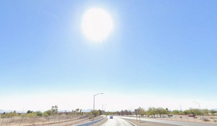
Las Vegas is already warming up this Sunday, July 12, 2026, with clear skies and temperatures near 84°F this morning, and the desert heat is only getting started. The valley is on track for a blistering afternoon high, marking one of the hottest stretches so far this summer, so residents will want to plan their day around the sun, not the other way around.
Heat, Winds and Evening Storms
Temperatures are forecast to spike to a high near 109°F this afternoon, with heat index values up to 105°F and south-southeast winds of about 6 to 10 mph on the valley floor. A slight chance of showers and isolated thunderstorms is on the table between roughly 8 p.m. and 10 p.m., with storms favoring Mohave County during the late afternoon and evening. Forecasters note the potential for gusty outflow winds to reach Lake Mead and the eastern Las Vegas Valley, and caution that outflows crossing the Red Lake dry lake bed could kick up dust into downwind areas, according to the National Weather Service.
Week Ahead
Monsoonal moisture is expected to hang around through early next week, keeping chances for showers and thunderstorms alive Monday and Tuesday and boosting the risk of localized heavy downpours and brief flash flooding, especially near higher terrain. With a lack of strong steering winds, storms are likely to fire over the mountains first, then drift into valley corridors on outflows, which means sudden street flooding and quick rises in drainage areas will remain on the radar.
Heat Relief And Safety
Clark County has activated daytime cooling stations across the valley for anyone needing a break from the triple-digit blast; call 2-1-1 for current locations and hours. For safety, health officials urge people to avoid strenuous outdoor activity during peak heat, stay hydrated, keep an eye on elderly neighbors and pets, and never leave children or animals in parked vehicles, according to Clark County.
Where This Fits
Hoodline has been tracking this latest heat surge, and this update zeroes in on the added risk from evening outflow winds and dust on top of the ongoing triple-digit temperatures. For more context on community resources and recent heat impacts, see how triple-digit heat locks in across the valley.



